We set the dates, and they were predicated on some dates that had Chris already in Canada on a family trip. We agreed to meet in Kelowna, BC, as Chris's family were flying out of there for home. Before he left, he packed his climbing and camping kit, and left it with me to transport to our rendezvous.
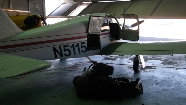
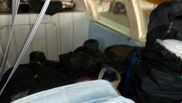
I went down the night before and packed all of our gear in Sierra (a pet name, but derived from the phoenetic designator for the letter 'S' in aviation. My first airplane had a call sign that ended in 'J', and the designator was Juliette, so through pure chance I have had the only two designators that are female names). I removed the back seats as we had a large volume of gear, but everything fit nicely, and I was set to go the following morning.
This day was destined to be a loooong day. I was wheels up from Bridgeport, CA at 4:50 am, and flew direct to Ephrata, WA for a fuel stop, and to activate my international flight plan. I averaged 143 knots (about 165 miles per hour) and was getting around 23 miles per gallon. Not too bad for 165 mph.
Canadian Customs was already expecting me, and I flew over the border and into Kelowna. I was a bit ahead of schedule, and Customs was not overly pleased, but they gave me an admission number, and I was free to move about the country.
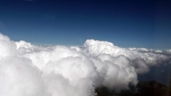
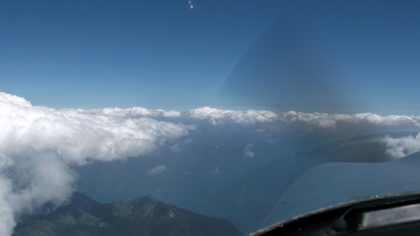
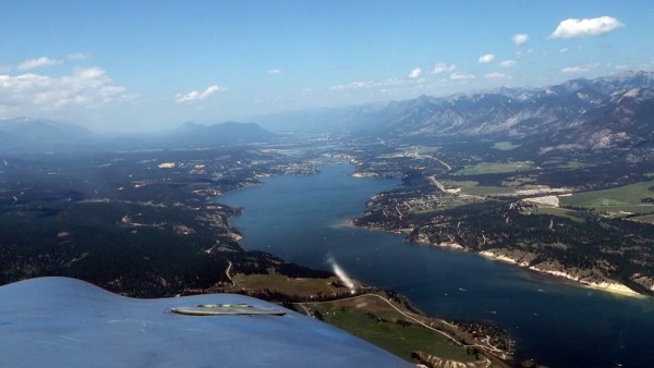
I found Chris, and he had a little bit more gear to add to the load, and then we strapped in and headed toward Invermere, BC. There were quite a lot of cumulus buidups over the Monashees and Purcells, and we climbed up to 14,000' or so to stay on top, and those that were too tall we skirted around.
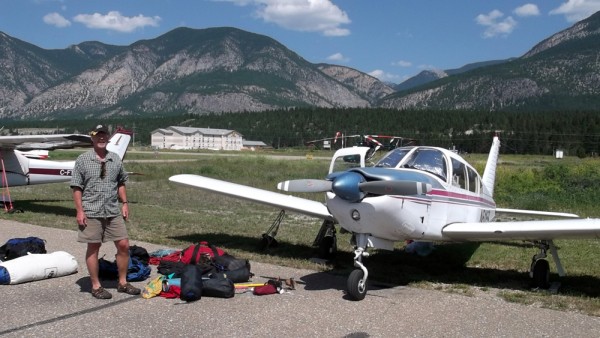
It took a little more than an hour to get to Invermere (Chris said that if we would have driven it probably would have been 5 hours), and it was a quick descent from 14,000' to 2,820' to land at Invermere.
We had one little hardware issue with Sierra, and we walked over to Canadian Tire to pick up a few parts to remedy it. Then we loaded our packs and set them aside so we could walk 2 or so miles to the car rental. They rented us an Accord with a cracked windshield, and we drove back to the airport, picked up our gear, and headed for the hills.
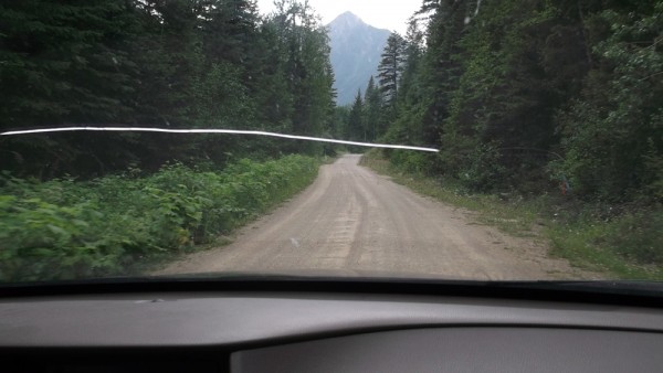
At this point it had already been somewhat of a long day for me, here it was noon, and I was already 700 nm (805 sm) from home, but we still had a lot to do. We drove north past Radium Hot Springs (home of the Radium Release Hitch for you SAR folks), and turned west at Brisco, BC. From here it is 50 kilometers to the Bugs parking area, all on potholed dirt/mud logging roads.
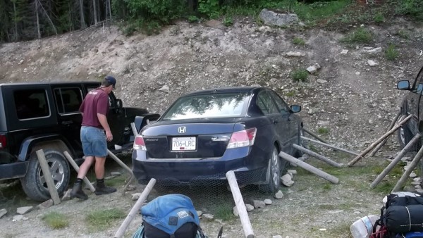
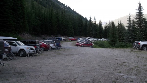
We finally arrived at the trailhead, and the sight of all of the vehicles wrapped in chicken wire is humorous. Chris tells me that there is a serious problem with porcupines, that they like to eat your brake lines and radiator hoses, neither of which would be good 50 km out a dirt road. Every vehicle was wrapped, and we dutifully wrapped ours as well before we left.
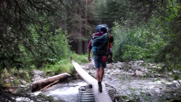
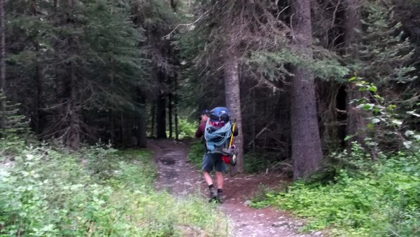
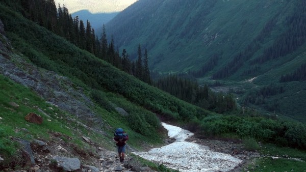
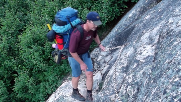
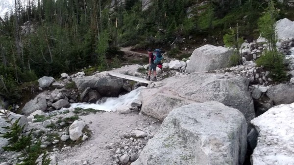
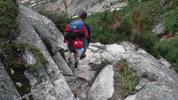
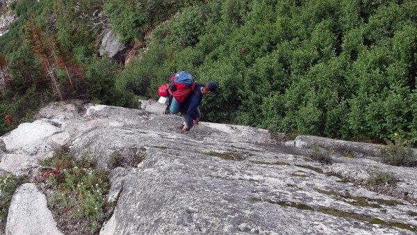
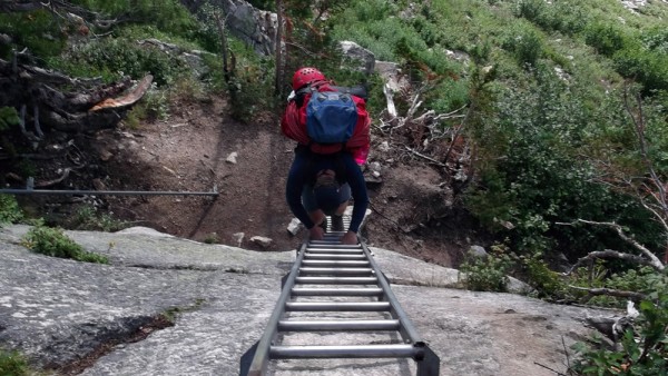
The approach hike is pretty short, the route book says you can see the Kain Hut from the parking lot, but I could not see it. The trail starts as a nice hike through thick trees, but soon steepens considerably.
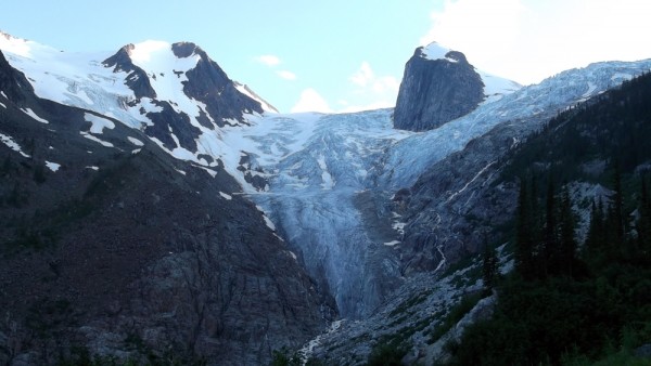
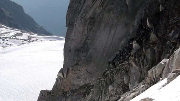
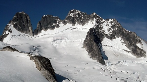
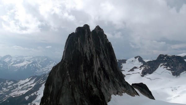
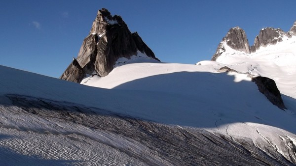
The scenery soon changed to an alpine view, with active glaciers, and the Bugaboo area itself finally coming in to view.
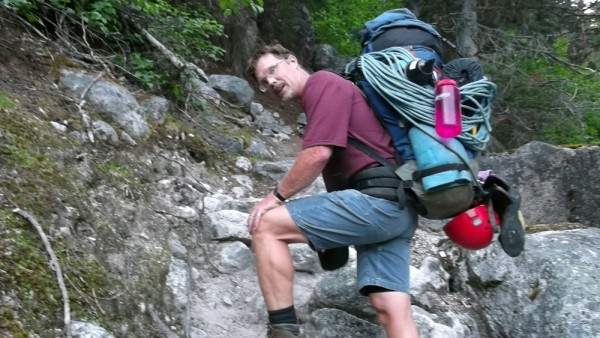
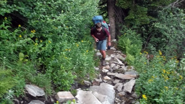
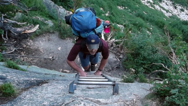
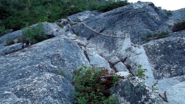
But the trail remained steep, steep, steep.
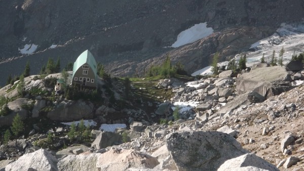
Finally, after a couple of hours grunting up the trail, we were drawing close to the Kain Hut.
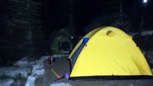
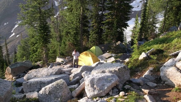
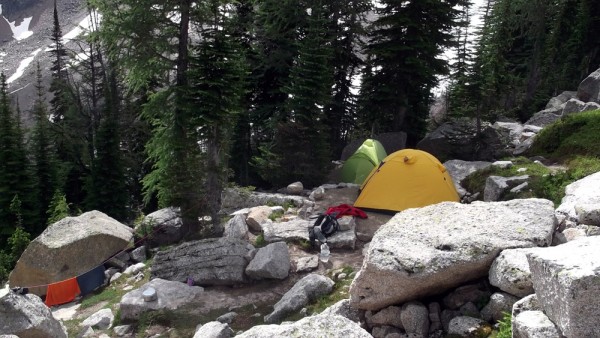
We secured our campsite at the hut, and headed *DOWN* on the other side of the hut to Boulder Campground. We descended 200' and took the first available campsite we came to. We arrived around 10 pm and set up camp. I could barely wait to crawl into my bag, I was exhausted after being on the go since 3:30 am. It was lucky that the daylight sticks around so long this far north.
Things looked much brighter the next morning.
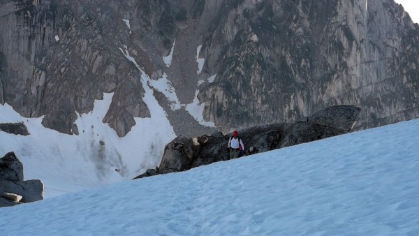
The previous day had been so long that I was kinda half expecting a rest day, but Chris was not. He was knocking on the tent door at 6 am, urging me to action to 'beat the weather'. We loaded up our gear, and started out, first climbing back past the Kain Hut, then continuing on toward Applebee Camp and Bugaboo-Snowpatch Col.
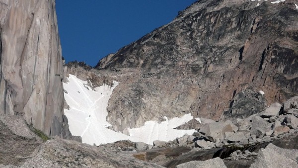
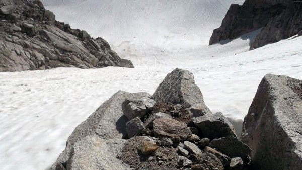
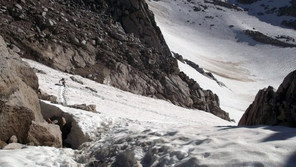
The col was in good condition, with the bergschrund mostly covered, and nice set of steps kicked in. We had brought axes, but not crampons, so this worked out well.
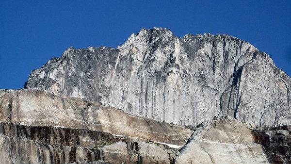
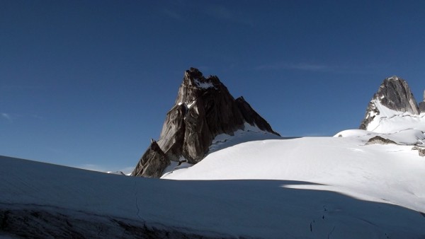
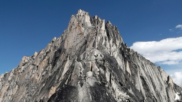
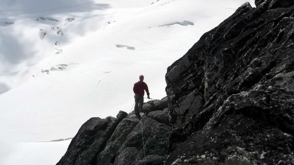
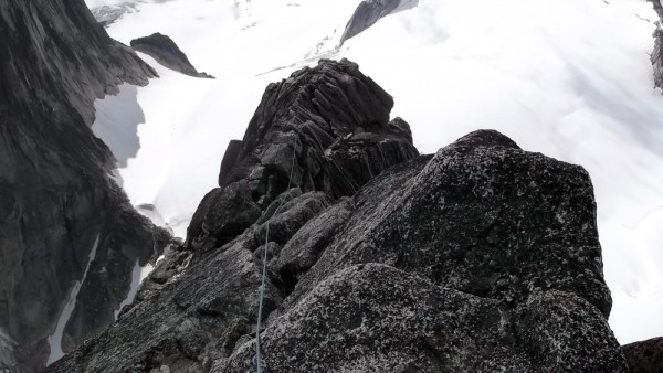
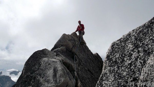
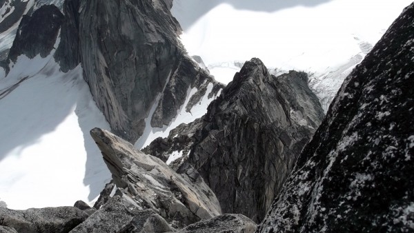
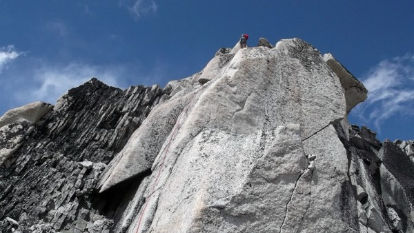
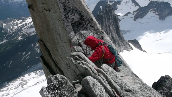
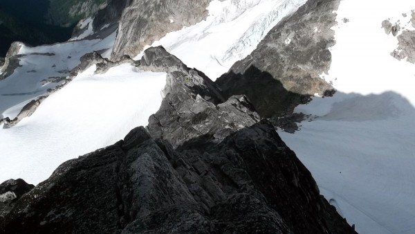
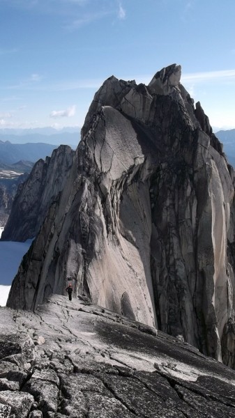
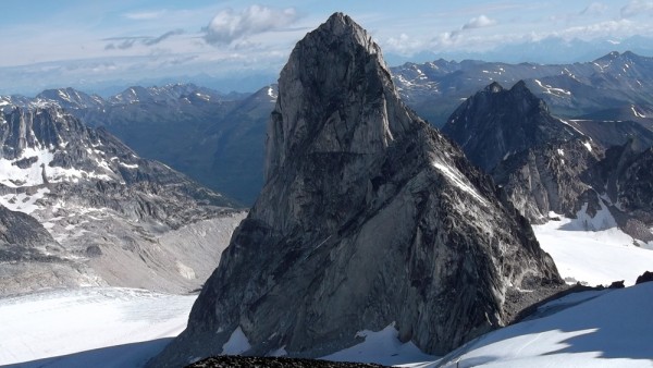
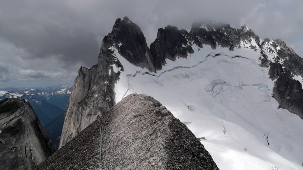
We headed up the south-west ridge of Bugaboo Spire, our intent to climb the Kain Route, reported to be a quality alpine ridge. As we scrambled up to the start of the 'climbing', several parties that were ahead of us were coming down as they felt the weather was threatening. We kept telling each other we would just 'take a look', and we arrived at the rope-up and decided to give it a go.
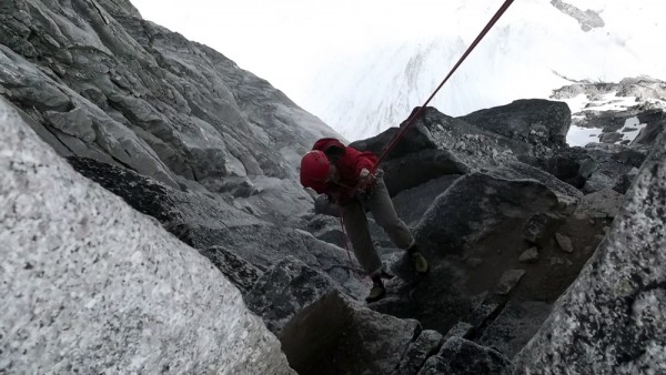
The weather held, and we topped out, sat for a few minutes, and then started the raps.
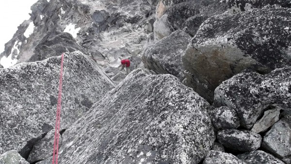
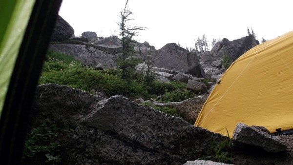
After finishing the series of raps, we scrambled down the ridge under increasingly threatening skies, down the col, and back to camp, where it promptly started to rain. We ducked into our tents, made some dinner, and crashed. We woke to nice clear skies, but I was still spent after back-to-back grueling days, and we agreed on a rest day.
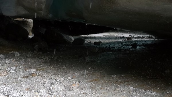
Being the finely-tuned athletes that we are, we could not afford a full down day, so we hiked over to the toe of the Bugaboo Glacier to poke around. We don't have anything like this in the Sierra where I spend most of my climbing time, so I was fascinated by this very active glacier.
We touristed our way around the glacier for a while, then headed back to camp, just in time for some more rain, this time a bit more vigorous.
The weather looked good the next morning, and we headed back up toward the Bugaboo-Snowpatch Col on our way to Pigeon Spire.
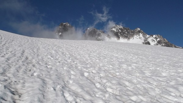
Above the col, we stepped onto the Vowell Glacier, which had obvious open crevasses, and an open bergschrund near Pigeon Spire.
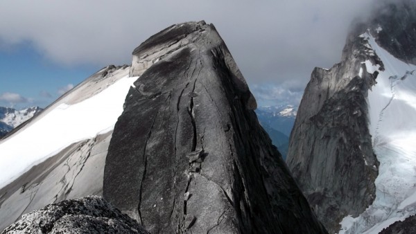
There was quite a crowd on Pigeon, but Chris was confident that we could pass, so we started out. At the first belay, a Japanese team of two invited us to go ahead, so we did.
We simul-climbed up and down and across, and managed to pass several more parties, but there were always more ahead of us.
The descent from Pigeon has two raps at the top, and then a downclimb for the rest of the route, so we simul-downclimbed as well. We headed back to camp, it rained, we went to sleep. In the morning it was time to bid adieu to the Bugs, and we packed up and headed down.
We drove back to Invermere, spent the night, and flew out at first light. Our first stop was in Oroville, WA to clear customs and refuel. We then flew direct non-stop from Oroville to Bridgeport in just a shade over 5 hours as we picked up a bit of a headwind part way into our journey. Still, an airplane is an amazing tool, how else could I sleep in my own bed, travel to Kelowna, and Invermere, then drive and walk to Bugaboo Provincial Park, and be camping next to the glacier just under Bugaboo Spire all in the same day, and during daylight hours?
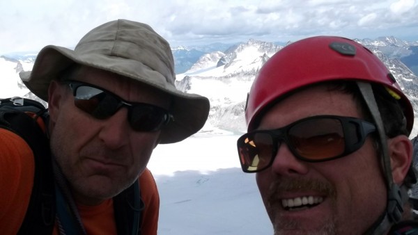
If you have been thinking of going to the Bugs, stop thinking and start doing, it is well worth it. Thanks to my friend Chris for his prior knowledge that was invaluable, and for being an all-around good guy. The only downside to the trip is all of the other fine-looking peaks we flew over and lusted after that we may now have to visit. My to-do list grows ever longer...
