Springtime is when many people are happy that winter is finally over. But springtime is when other people think that the time is good for skiing on big mountains.
And that’s what we did on this past weekend, the first real springtime weekend, with temperatures going above 20°C down in the lowlands and the first people jumping in lakes and rivers.
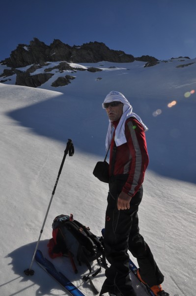
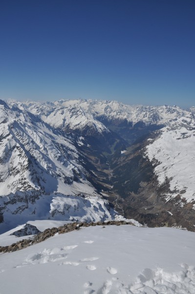
Skitouring in this time of the year means that you get nice springtime snow, get going early in the morning, you need to be willing to get roasted by the sun, your feet will feel like a meatloaf in the oven, they will smell a lot worse than that, and you will need to carry your skis for quite a long time on the way down. Use of sunscreen must be exaggerated and keep pace with the sweat flowing copiously. But these are rewarding tours, steep slopes will be safe, the snow feels like butter under your skis and standing on a summit surrounded by snow and seeing the valley in full bloom 2000 m further down is just wonderful.
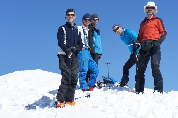
So we decided to take the heat, the sweat, the sunburn and hopefully some snow, not an obvious thing to find at the end of an otherwise rather lousy winter. It had been years since we did the last tour together, and it was not just a great climb and an outstanding descent, it was also a special tour with old friends. Christian, Klemens and I went off on Saturday with people in flip flops and T-shirts giving us strange looks as we carried our skis through town early morning.
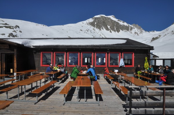
Day 1 was fairly laid back, we took the cable car and skilifts in Disentis to the very top, had a coffee and sweets on the restaurant’s terrace, enjoyed the great view and sunshine and finally got going around 11.
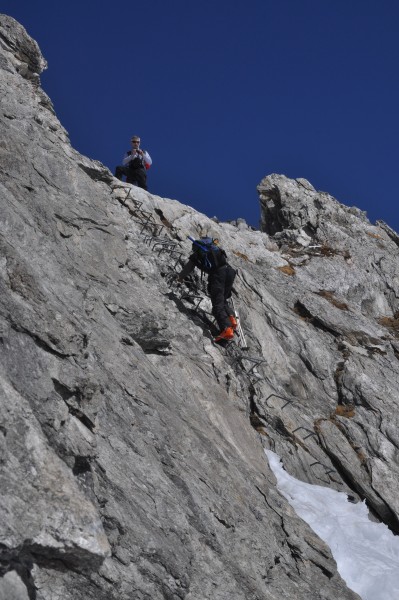
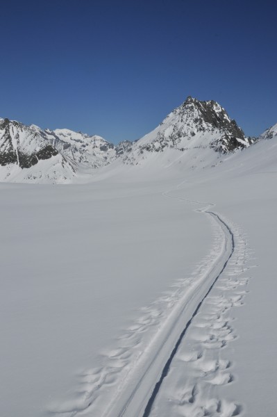
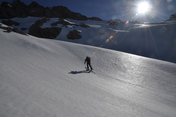
From there it’s a short walk to the ladder that allows one to cross over to the other side of the ridge and get onto the glacier, the Brunnifirn. First pleasant surprise: the first slope was powder, in mid April! Who would have guessed?
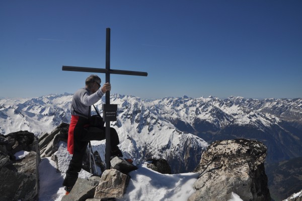
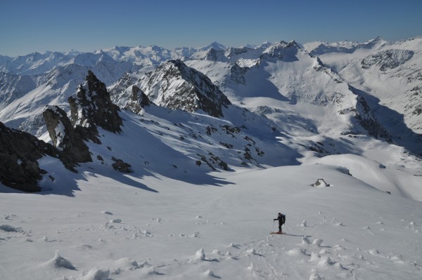
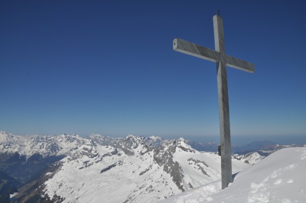
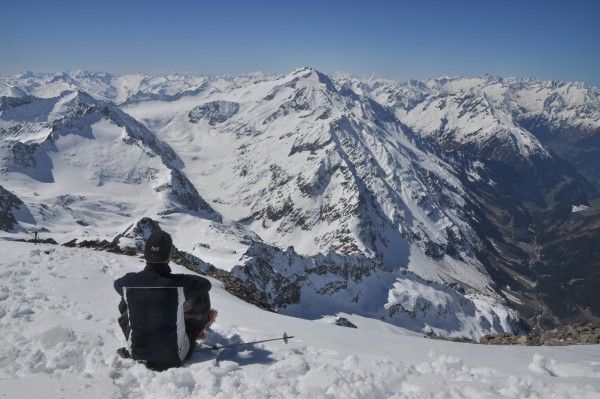
Well, you don’t know till you try, right? From there it’s about 1.5 hours to the Oberalpstock, a popular and easy summit, the highest in the area with a worthy view going from Austria in the East, Italy in the South and the big 4000m peaks of the Valais out West. When you’re late in the day, the advantage is that you’re often alone on the summit, so it was us and nobody else up there.
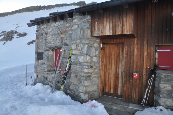
Another good descent from the summit back to the Brunnifirn and from there an easy walk to the Cavardiras hut, where we spent the night.
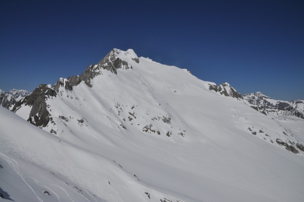
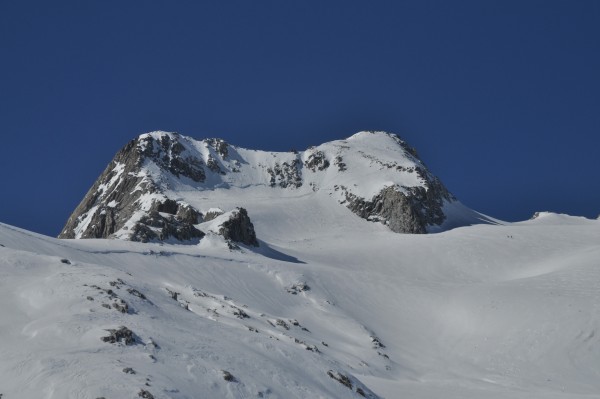
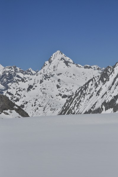
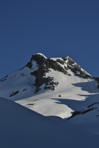
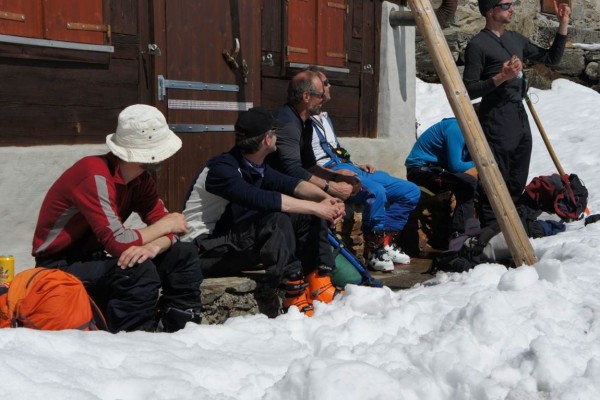
It was us, 3 Austrians and 5 Italians sleeping there and taking turns cooking, all with the same goal the next day: Gross Düssi. Gross Düssi is not a well-known and not an often visited summit, probably because it’s a bit off-hand, it’s not the highest in the area and there’s no really easy way up. The two possible winter routes are both sort of longish and have some seriously steep and exposed bits; not a place to slip. Having said that, it’s a massive summit, it stands alone, has a great view and the descent is ABSOLUTELY SPECTACULAR!!!!
So off we go at 5.30 on Sunday, nobody really wants to go first, but in the end we all leave around the same time. The tour starts with some sketchy traversing on very steep, frozen slopes. Glad to have crampons on my skis, this was the first time I started thinking that falling is not really an option here. This thought was to come a few more times during the day….
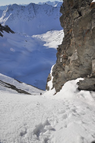
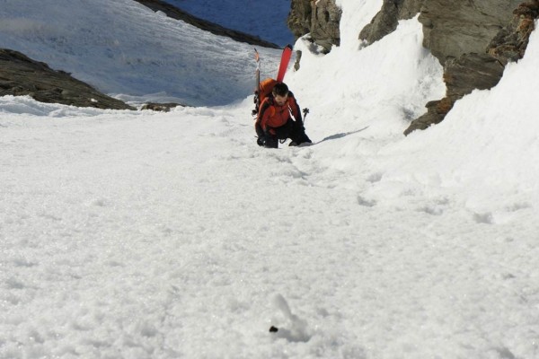
After an hour or so came the first snow gully where we tied up our skis to the rucksacks and reached the col that brought us in view of our goal, still faaaaaar away.
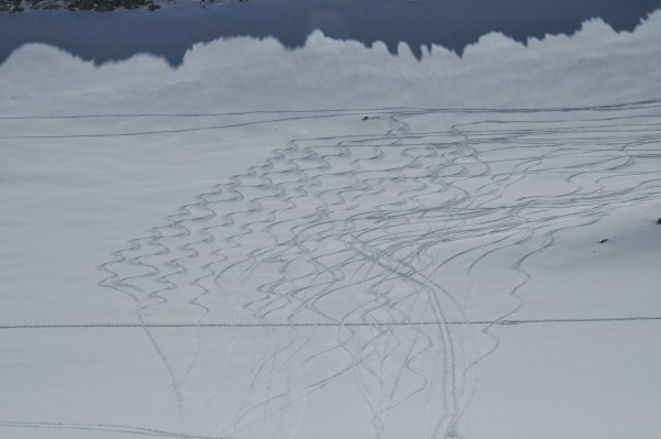
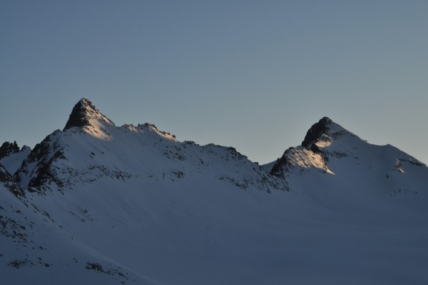
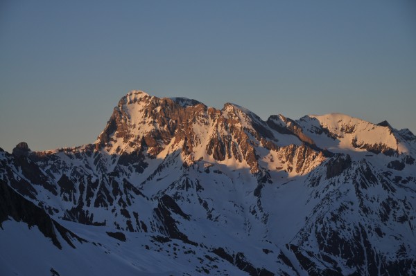
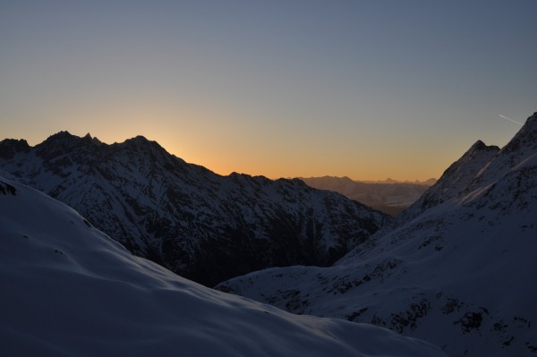
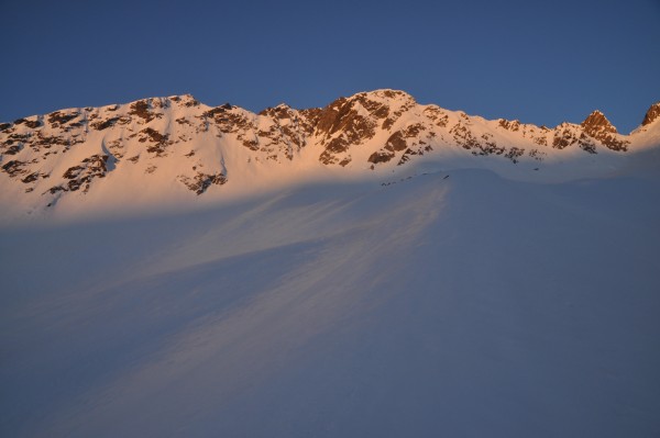
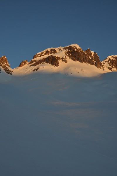
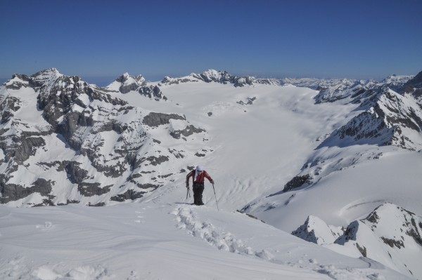
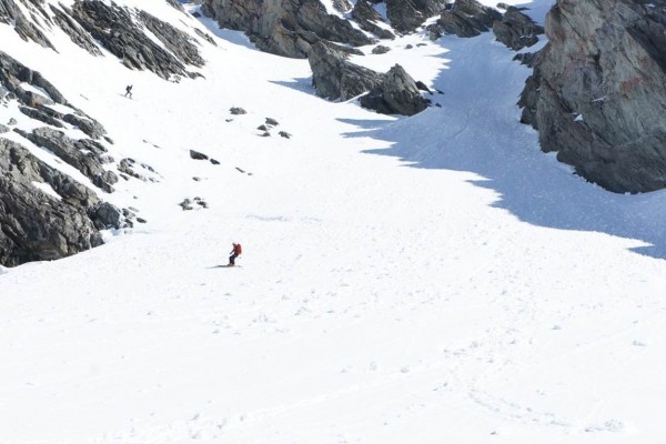
And again: great powder on the back side, WOW! After that the usual ceremony: open shoes, stick skins to skis, get crampons on, start walking, don’t slip. By this time the sun had risen and all summits and slopes around us were shining in gold. We were luckily still in the shade for another hour or so, before the big roasting started. After another long series of steep traverses and slopes we finally reached the foot of the first summit of the day.
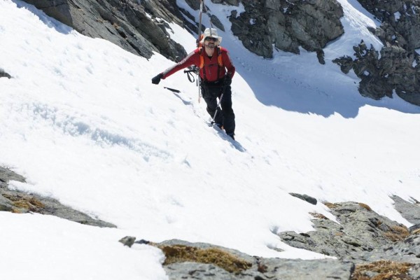
Take off skis, take off skins, tie skis to rucksack, put on crampons, get out ice axe, get moving up, don’t slip. Another steep gully / slope got us to the summit before the summit.
After 5 hours of nearly non-stop moving it can be a bit disheartening to finally reach a summit and seeing that it’s not THE summit, because that happens to be another 150m higher and at the far end of a snowy and rocky ridge.
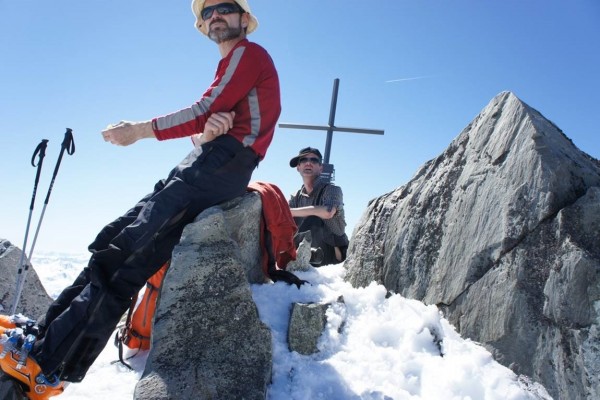
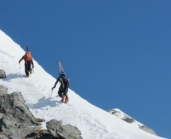
The ridge happened to be pretty exposed in one spot, no wider than one shoe with slopes off to the left and right, luckily just a very short bit, the rest was fairly easy going made interesting by the exposure and heavy loads. Unfortunately no pictures of this, as my thoughts in these situations are, in order of priority: holy sh%*, don’t slip, keep cool, watch out, get home alive, take a picture. Since taking pictures is last in priority and the holy sh%* part was dominating all else, no pictures, sorry. But yes, we made it and it was worth every single drop of sweat and adrenaline. One of the Austrians was already up there, the other two followed shortly after and the five Italians were still further back but on their way. It’s good to know that all others made it up and down safely.
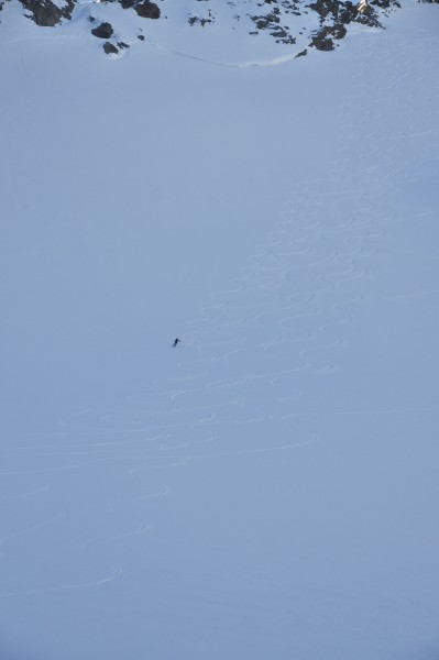
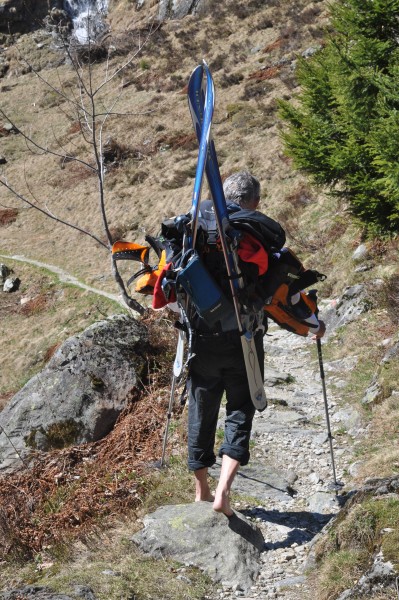
The descent was every bit as nice as we hoped for, or even better. Just perfect conditions, perfect slopes, perfect exposure, and a cold beer waiting at the end of the descent. Too bad we still had another 1.5 hours of carrying our loads out to the next road after the beer. But you don’t have the option in these situations; it’s either carry and walk or walk and carry. Walking goes by inertia and the further down we get, the more flowers are blooming, pastures are green, birds are singing, feet are hurting and we’re longing to take off all we can. We end up walking out one of us barefoot, and one of us in his underwear (again no pictures, because the holy sh%* thought was stronger than ever….).
All in all a fantastic tour, one of those you realize only after having done it, how great it was. During the tour it’s all about concentration, focus, not slipping, after the tour it’s all about how great it is to be able to do something like this. Thanks to my friends who made this possible.
A side note for those interested:
The Swiss topographic institute has an outstanding homepage, where all of Switzerland is mapped down to a scale of around 1:10’000. You also have the options of showing skitouring routes and slopes steeper than 30°. Here is the link:
https://map.geo.admin.ch
Extremely useful if you plan to come to the alps for hiking, climbing, touring, skiing.
If you type Oberalpstock in the search menu, you will find the Cavardiras hut, where we slept, slightly east of the summit and the Gross Düssi North of the hut. And if you need more information, drop me line.
