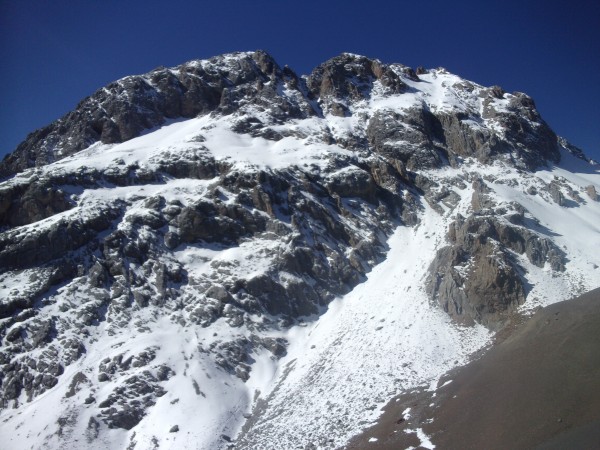
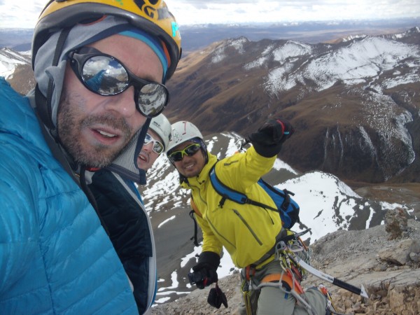
in early November 2015 Norihide Yamagishi (Japan), Paul Manson (Scotland) and Ed Hannam (Australia) made the first ascent of Asura Peak at the junction of the western and central massifs in Sichuan’s Gangga Range. the peak’s height remains unverified as 5207m. before this trip only anecdotal images and a general location of the peak existed.
the ascent was the first official ascent of any of the +40 >5000m peaks in the range, proceeded only by an unauthorized ascent in 2013.
Hannam had previously visited the range in 2014 but failed to summit a 5429m peak in the central massif due to logistical problems. the timing of the 2015 trip was centered on weather observations made in the previous year.
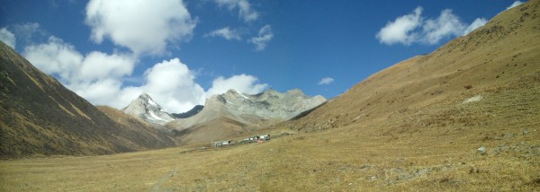
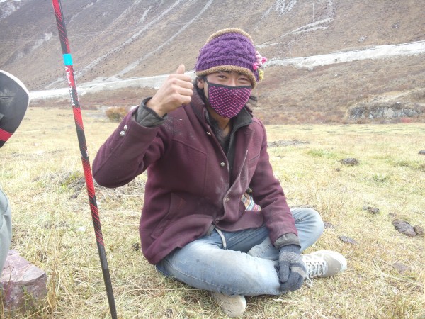
the Gangga Range sits in the far north west of China’s Sichuan province, 700km from Chengdu and 250km from the border with ‘Tibet’ (Xizang province). the range forms part of the north eastern-most extension of the Himalayan ranges and has a checkered past of accessibility. the population of the region is >75% Khampa Tibetan, centered on the trading and monastery town of Ganzi. in early winter nomadic families from the high plateau pass thru the Gangga ranges valleys.
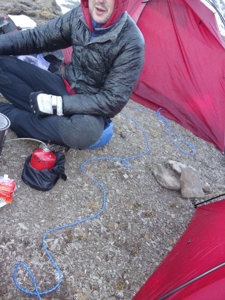
the trio’s aim was to make a first ascent via the north face of an undocumented peak, climbing unsupported and in as clean alpine style as possible (nothing pre-placed, nothing fixed sections, nothing permanent, non-stop if possible). this entailed being self-contained for 9 days, without porters or electronic communications, once leaving the road at 4200m.
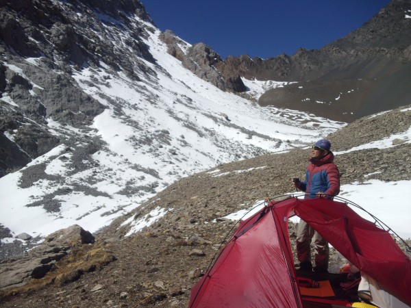
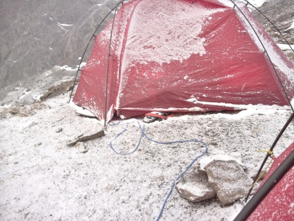
a three day approach lead to a cold yet ideally located launch camp at the base of the 400m north face. nearby sub-peaks and passes afforded good views of the face to plan routes by and chances to acclimate.
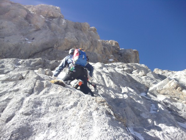
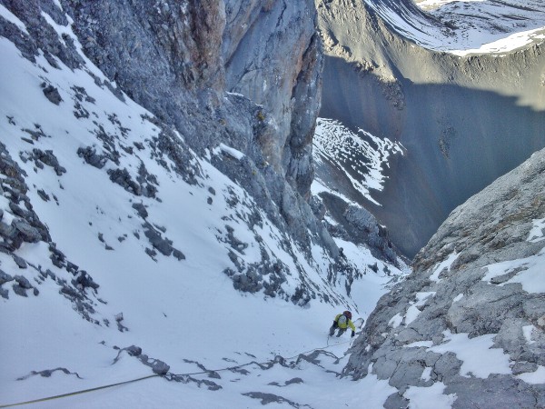
the first attempt was a direct line up the center of the face, finding good steep snow to 70o, thin ice and rock of widely varying quality. initially hoping to follow an obvious ice line, upon finding it too thin they moved to increasingly difficult mixed climbing beside it, retreating after Yamagishi took two 6m falls on an overhanging pitch at around 4900m, eventually losing an ice tool.
similar long ice lines cover the face and have huge future potential.
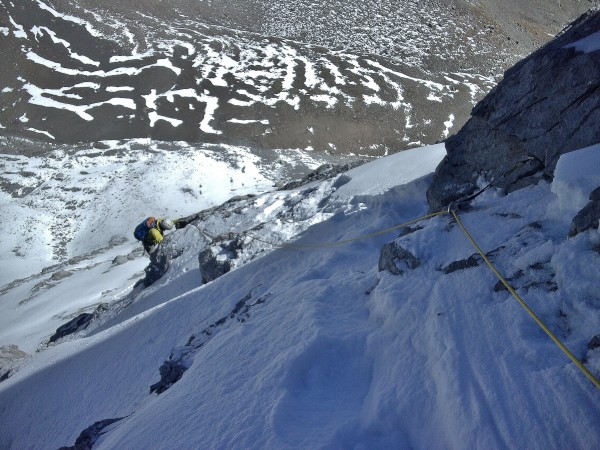
the second attempt took a meandering line that linked two tiers of exposed snowfields via pitches of Scottish Grade V mixed, into the obvious couloir that bisects the face. it was debated that the couloir would lead to a summit ridge but instead several steep snow pitches lead to an overhanging corniced notch surrounded by rock towers and dangerous loose rock 60m below the assumed summit. descent was via the couloir and took a 13hr round trip from camp.
a ‘rest’ day that allowed for more discerning recon of the peak confirmed that the true high-point was actually set further back from the main face and best reached by crossing the central couloir and traversing upwards a series of steep snowfields at the base of the faces headwall. arrival of the trips first bad weather threw concern over the chance of getting back onto the face in the short amount of time left.
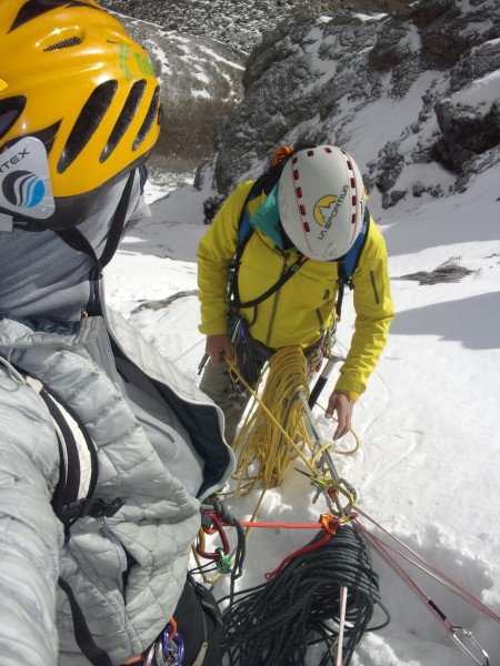
after a night of dry snow fall a middling morning of scattered cloud cemented the decision to make a final attempt, refining our previous line on familiar terrain and a known descent route if the weather collapsed. rested, with a degree of expectation and the pressure of an unpredictable weather window the trio simu-climbed as a three, to arrive at the couloir in the late morning. the angle of the face and dryness of the precipitation meant minimal snow had collected. further simu-climbing across the upper snow and linking mixed sections bought them to a short corniced ridge and a traverse to the summit at 12:30pm. an encroaching cloud base of 6000m gave a fifteen minute period to take photos into the previously unseen southern reaches of the range that included southerly aspects of the highest peaks and multiple previously undocumented alpine objectives.
descent followed the route, meeting with the previous rap line down the central couloir.
discussion graded the line at Scottish V / M5 / 70o snow, 700m over 400m alt gain.
this trip was self-financed though some equipment was provided by Teton Bros, Polartec, Millet, la Sportiva, Big Sky International, Cilogear and Skylotec
