I decided to take the liesurely approach and enjoy the scenery over four days. After 45 years on this planet and a nearly dying in a car accident four years ago I have decided that climbing is something I do for fun. Well, mostly. Like fun only different. ah well, you know the score :)
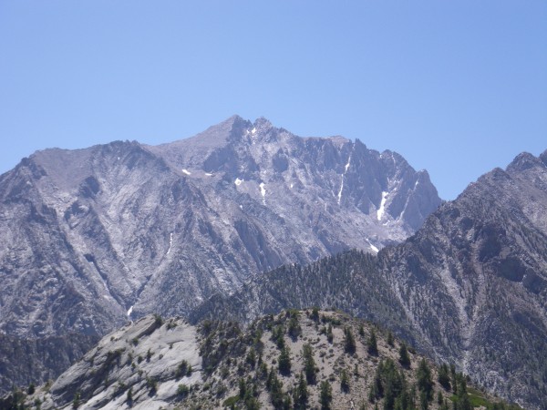
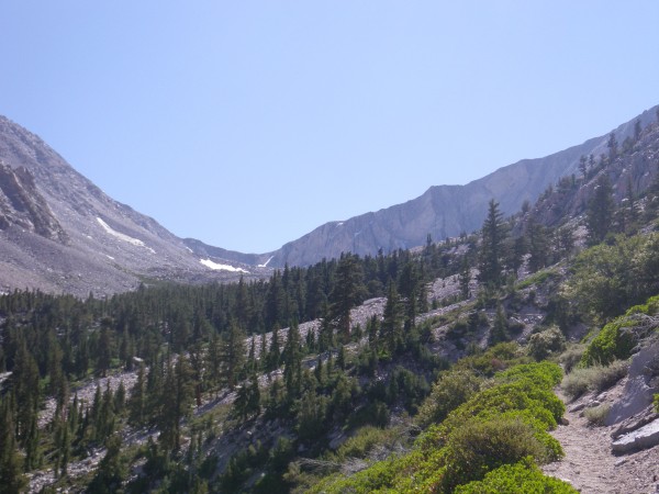
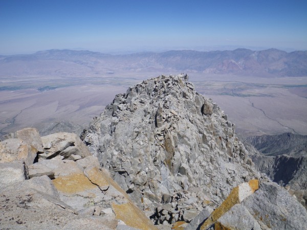
Thursday I got a wilderness permit in Lee Vining, drove down to Independence and started hiking up the Symmes Creek drainage. It was warming up, but fortunately as I made my way up the 900 or so switchbacks to the saddle there was a fair amount of breezes and shade. I took in my first views of Mt. Williamson (14375') aka The Beast.
The trail descends a bit to Mahogany Flat, then switchbacks up to Anvil Camp (10300'), where a lot of would-be Williamson mountaineers spend the night.
I felt fatigued after 4500' elevation gain with a full pack and spread out my bivy sack. The mosquitoes descended in force -- it was like early July ! I was glad to have brought a headnet, though a bit of DEET would have been useful. Oh well, high snow year. A nice place to camp, at any rate.
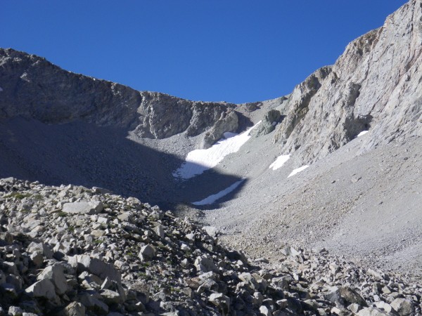
Next morning I set out for Shepherd Pass (12000') and raced the mosquitoes up towards the talus. The trail seemed to be in good shape. I was wearing approach shoes to keep the weight down and they were doing fine.
There was a short bit of snow to cross near the top, but at 9am it was soft in the sun, and the many pairs of boots before mine had made easy steps.
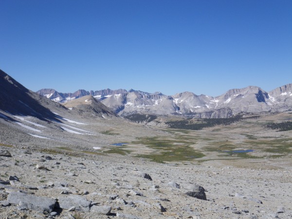
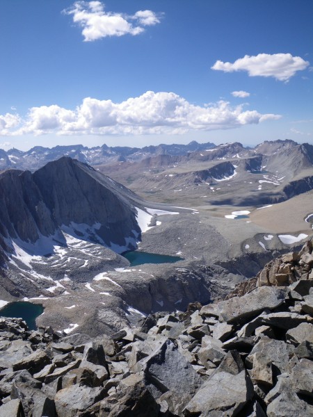
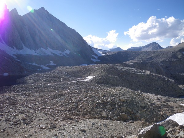
The plateau on the west side of the pass was other-worldly beautiful. Oh yes, this was why I hiked up all this way :
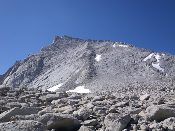
Mt. Tyndall (14018') beckoned, and I answered. I dropped my pack at about 12400' and scrambled up the talus, then took the class 2-3 slabs right of the north rib to the summit ridge.
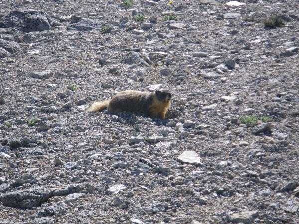
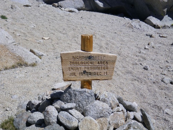
It was a really nice side trip and I was back down to my pack about three hours after I'd left it, with no marmot chew marks apparently :) I kept on going and saw this now-antique sign -
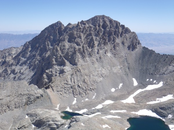
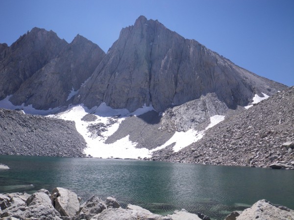
There was a use trail down through the talus into the Williamson Bowl, and I made camp at a lake below the east face of Tyndall.
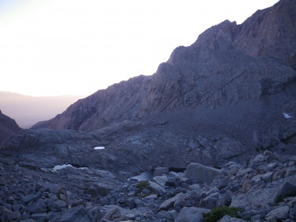
Next morning dawned a bit chilly and breezy. I started down towards Williamson Creek at 6:30am.
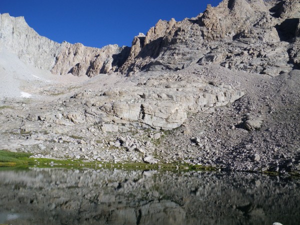
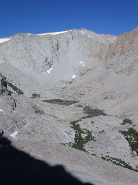
The going was remarkably easy, and the unnamed lakes were beautiful.
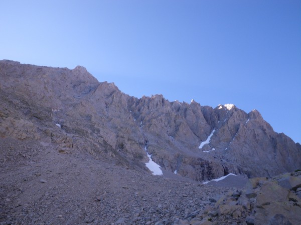
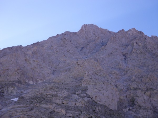
It was time to decode the north face of Williamson and figure out which of the ribs and ridges I should aim for. A friend wrote that his party started around 11000' (about ten ? years ago) so that was my first calibration.
I made my way up the talus fan, then got onto something that looked more solid.
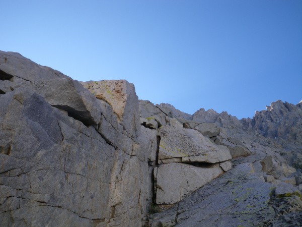
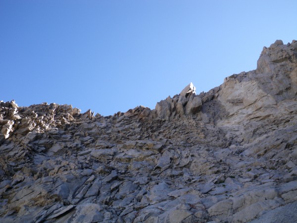
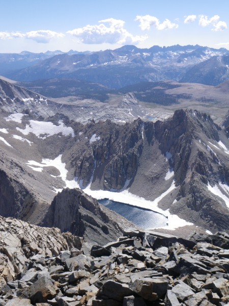
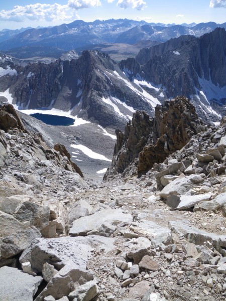
The first 1000' or so was a mix of class 2-4 scrambling. Nice views too -
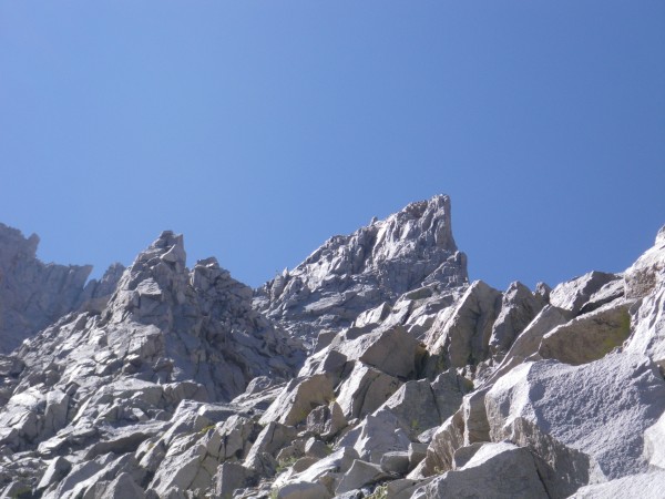
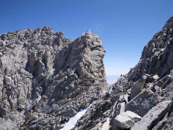
The higher I went, the better the rock was. I was starting to enjoy myself. But wait .. there's a gap in the ridge ! Getting across the gap would require an "interesting" downclimb. I was starting to have a very bad feeling about this (Star Wars reference). As ksolem wrote in this thread --
On your second shot the correct route is in red. Several guidebooks show it going up the right hand ridge (green line) where they split. When you go up the left ridge and look across you will be very pleased not to be over there.
I was on the right (wrong) ridge ! Oops .. fortunately, there was a gully separating them, and some class 3-ish terrain to get up to the left ridge. I downclimbed a bit, traversed and headed up.
Ok, that's better :) It was tempting to drop off the ridge slightly to pass harder terrain, and I would always find myself on something like class 2 again, so I tried to keep to the ridge, but it was not like West Ridge of Conness where you pretty much have to stay on the ridge.
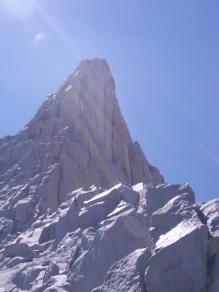
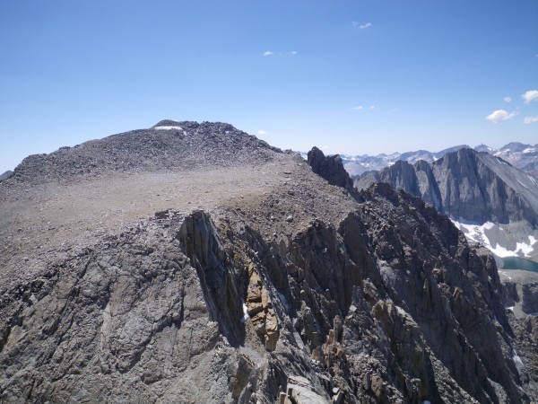
Anyway, the "prominent tower" loomed above -
I decided to put my climbing shoes on, and started up the left side of this thing. This was perhaps the highlight of the route for me. Maybe I should have dropped down a little lower on the left side ? It was really fun, and soon I found myself atop the tower, looking over at the West Horn (14160'). Oops, again.
Funky downclimb, followed by approach shoe re-insertion. Scramble over to the West Horn. Take pics and breathe.
The main summit looked far away. Camp looked even farther. It was about 2:30pm.
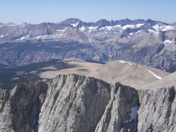
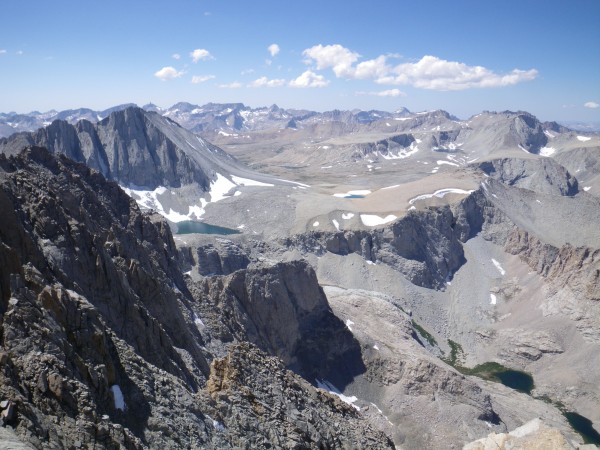
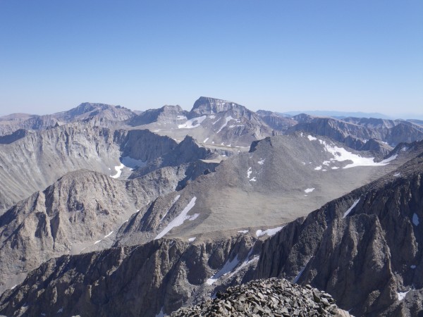
Getting down from the west horn to the summit plateau was basically a matter of reversing Secor's description of the West Horn, and went quickly. I made the main summit around 3pm, wolfed down some chocolate, signed the register and reveled in the amazing views -
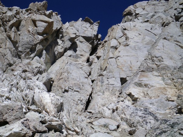
I saw one entry in the register from the day before (2-September) and a few other Long Twisting Rib entries. Reluctantly I headed down, squeezed through the chimney, and slogged down the chute.
It took longer than it should have .. or so it always seems with these scree chutes. Back down in the Williamson Bowl I headed across the use trail (I've dubbed it the Williamson Bowl Highway) back to camp and enjoyed dinner around 6:30pm.
The night was a bit chillier than I expected; there was a bit of frost in the morning. It was a reminder that September was here, and fall was coming soon.
I bade a sad adieu to the silent mountains and was back at my car around 1. A ranger was checking permits and I was glad I'd taken the time on Thursday morning.
