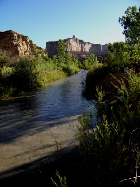
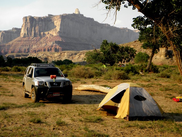
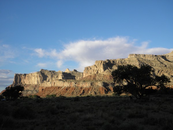
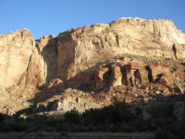
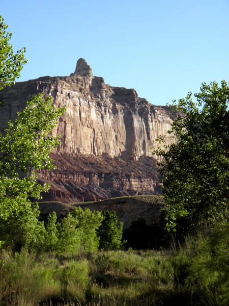
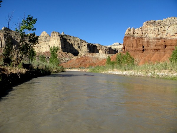
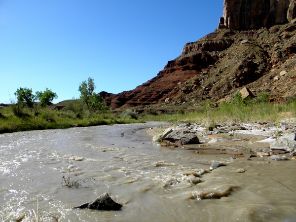
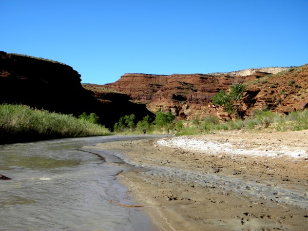
I packed almost everything I would need the night before and headed out early Friday morning, beating the great unwashed masses in their exodus from the city. I got to Tomsitch Butte by mid-afternoon and contemplated running the shuttle solo using my mountain bike. As I set up camp I noticed plenty of paddle people rolling in that I might hook up with for shuttle purposes, and so it came to pass. In the meantime there were new friends to make, beers to be drunk, and meals to be prepared. It was at this point that I discovered an overlooked item on my packing list, a fuel bottle for the stove. So beer and chips for dinner it was. Why is it that I never seem to stray all that far from the planning and decision-making paradigms of my college years?
A couple of hours into my descent I encountered the kayaker who had launched 10 minutes before me. His boat would develop a small leak from one of the many rocks in Muddy Creek and he would be eddying out every couple of miles to bail. As such, he and I would be playing leapfrog down Muddy Creek for the rest of the day.
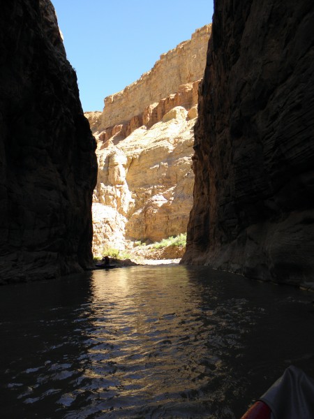
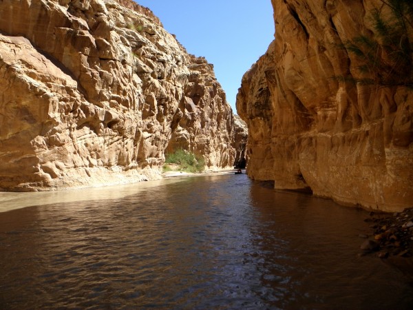
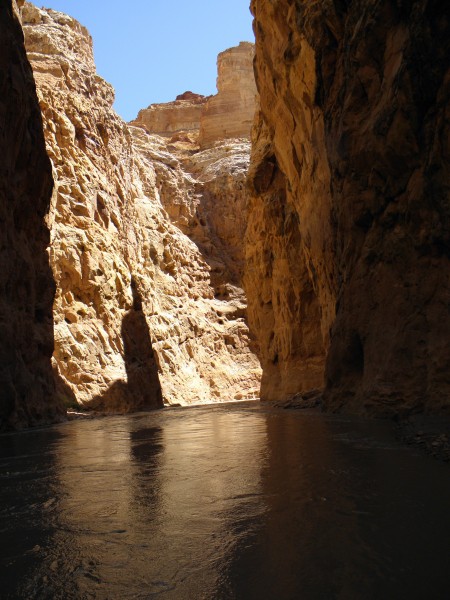
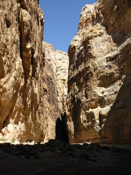
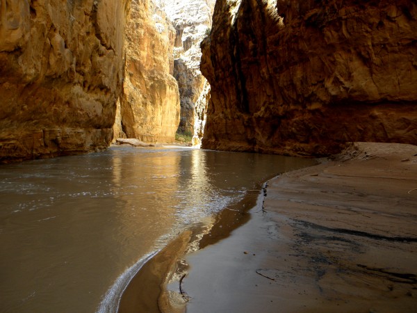
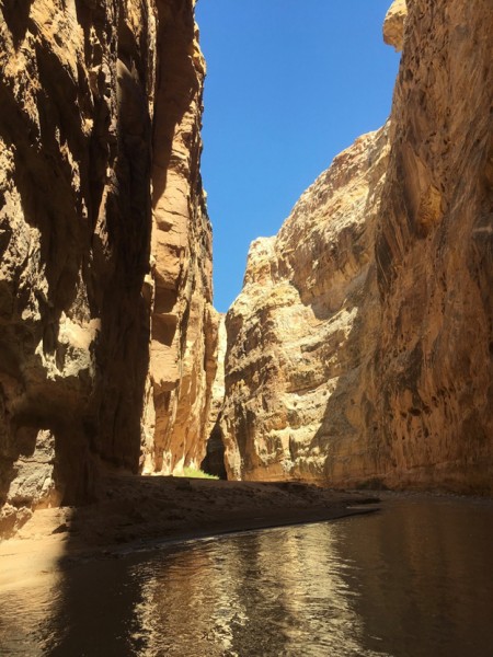
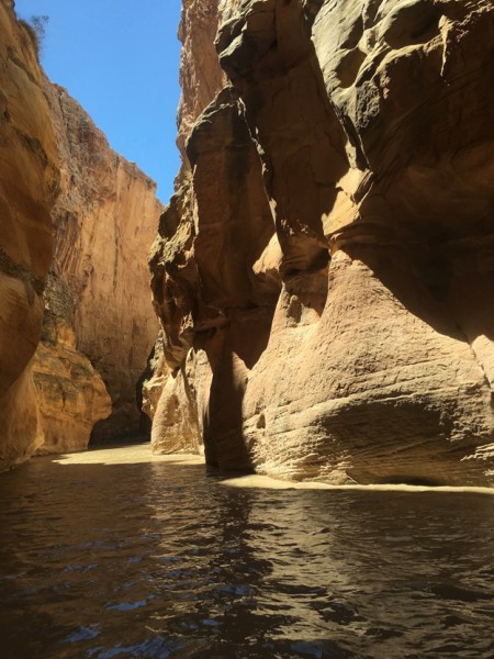
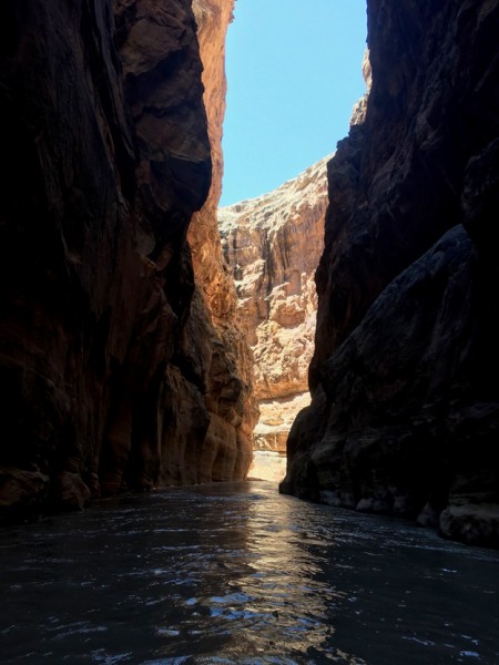
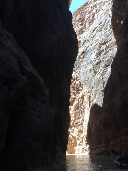
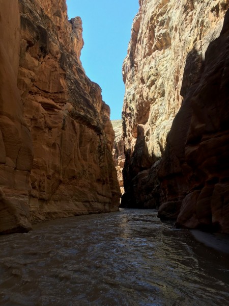
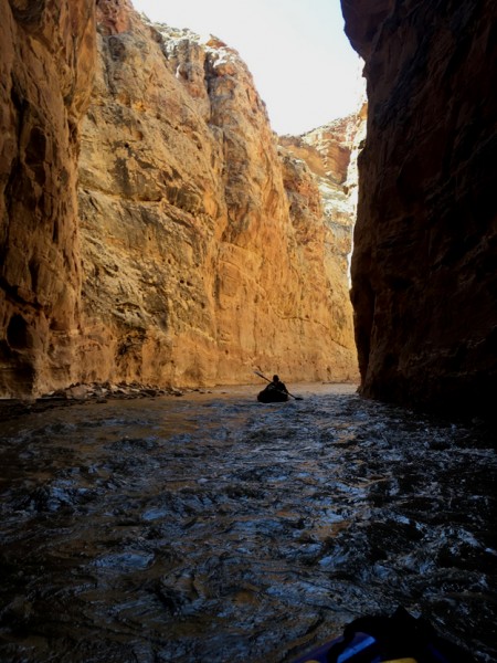
There is a gap between upper Chute Canyon and lower Chute Canyon where the canyon widens out and one can paddle back into the sunshine for a ways. The first class III rapid occurs in this section as well. Unlike many rivers where rapids are formed by a bunch of boulders washed into the main channel by flashfloods issuing forth from tributaries, virtually all of Muddy Creek’s rapids and rocky sections formed by rockfall from the adjacent cliffs. The biggest drop and biggest challenge exists in the upper part of lower Chute Canyon where a rather large rockfall deposited rather large rocks across the full breadth of Muddy Creek. Here there was only one rockin’ & rollin’ channel through the obstacle course, which forms the crux rapid on this river (class III). Any less water than the 195 cfs on the day that I paddled it and it would not go, although one could certainly portage past it. After that it was back into the sublime experience of Chute Canyon, where sandstone walls tower 300 feet overhead and the sky is often a thin ribbon of blue overhead. With the way the overhanging canyon walls warp and weave, occasionally the sky is barely even visible.
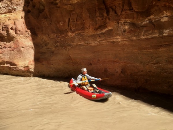
The evening before I launched a charming couple approached me wanting information on the shuttle. They had no one to shuttle with, and were both paddling pack rafts, so I offered them a ride back to their camp if they took off the creek at about the same time I did. As such, we were also playing leap frog on the river. They took the only pics of me on Muddy Creek, since I am too daft to master the fine art of the selfy.
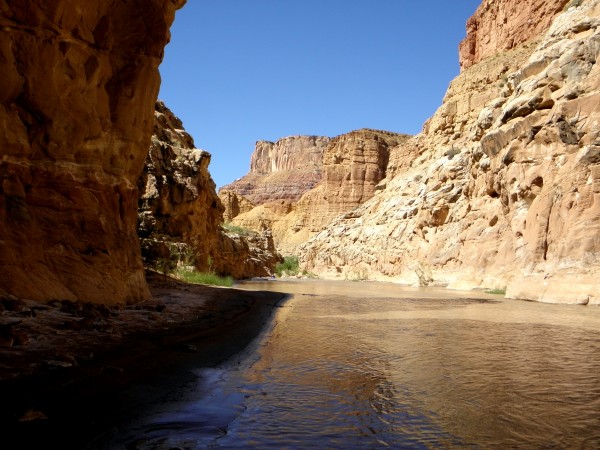
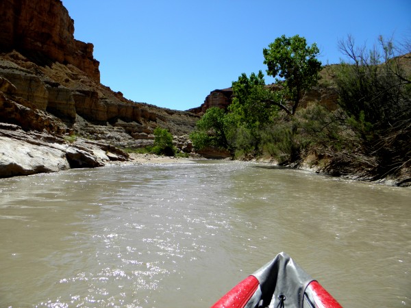
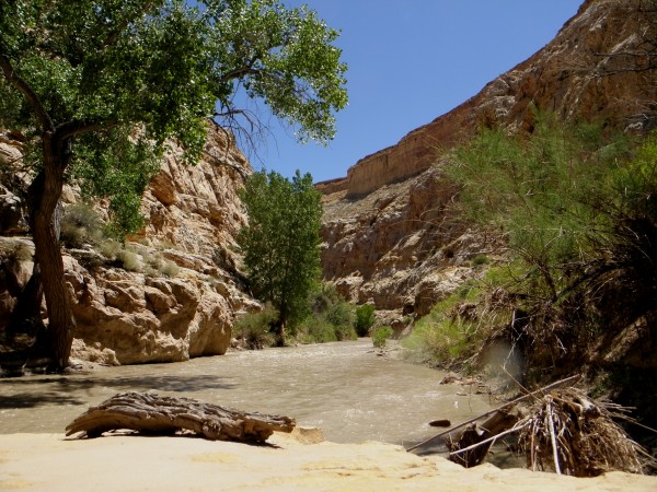
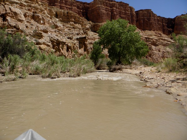
Chute Canyon makes a number of sharp turns deep within its confines such that the current draws one into the rock walls. For this reason I had brought my “beater” paddle to play tag with the canyon walls (as seen demonstrated in the previous photo). At one point Chute Canyon narrows down to about 8 ft wide and there is a log jam in the canyon about 20 ft up. I’m thinking if this creek ever flows at around 2,000 cfs it would be a good time to stay home. Below the log jam one exits lower Chute Canyon and paddles back into the sunshine, the cottonwoods, and the red rocks of the Moenkopi Formation. One has now left the sublime and is about to venture out onto the ridiculous. The lower 4 miles or so of Muddy Creek is one rock garden after another. Often there was no navigable channel.
If you go: If there is enough water Muddy Creek is totally worth the effort to get there. American Whitewater has a website with current flow conditions here:
https://www.americanwhitewater.org/content/River/view
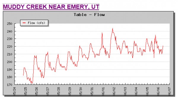
They say Muddy Creek is class I – III and that is correct. They suggest that 174 cfs is at the lower runnable flow level. At this level you will hit many rocks, you will shoal out on sand bars many times, and you will have to drag your boat more than once (like a bunch of times). That being said you will be able to paddle the absolutely awesome Chute Canyon. 200 cfs is better, and 220 would be great. If the hydrograph looks like this drop everything and go! I find it ironic that the weekend after Memorial Day was probably a much better weekend to paddle, but some years you might only get 2 or 3 days so you go when you can.
Hydrograph from American Whitewater website.
The San Rafael Swell is way more crowded on three days weekend than it ever is earlier in May. It is also noisier because it is popular with dirt bikers and ATVers – this is completely understandable because of the hundreds of miles of dirt roads left over from the uranium mining boom of the 1950’s. I do not begrudge these people having their fun, but it is probably not necessary to ride slowly side-by-side and hold up traffic – just sayin’.
The dirt roads to the various put-ins and take-outs for both Muddy Creek and the San Rafael River are in pretty good shape, especially compared to what it was back in the 1970’s and ‘80’s. Any half decent 4X4 can make it down to the Muddy Creek takeout with no problems, and this has not always been the case. Also, due to the popularity of various off-road conveyances, these roads see a lot more traffic and are much dustier than they used to be.
Although it is possible to put in where I-70 crosses Muddy Creek west of the Swell and paddle for 3 days and 70 miles down to Hanksville (I talked to a couple of guys doing this), most folks just do the 18 miles of Muddy Creek between Tomsitch Butte and the Green Dragon mine. There used to be an intact mining camp with 6 miners’ cabins in pristine shape at the takeout, but all of that has long since been taken by vandals. C’est la vie! Be well people, it’s a great world out there!
