I took up Salad's invitation to do some climbing in the Rock Creek area last week. The area is like a playground and I wanted to spend a week or so cragging, doing peaks, lazing around. In the end I only did the second two and it turned out to be a wonderful 5 days.
I meet up with Salad and neither of us have done the North Arete of Bear Creek Sprire(III 5.8), so we decide to do it Tuesday. The plan is relatively simple: we meet at the Mosquito Flat trailhead at 4 AM, walk out there, climb it, walk back. Mosquito Flat is wonderfully high and the first 3 miles are on easy trail through the beautiful Little Lakes Valley(seriously, a playground).
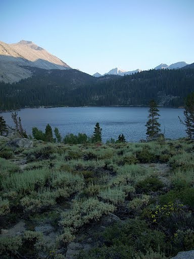
Rock Creek Lake in the evening
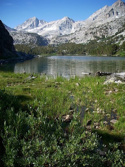
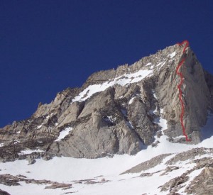
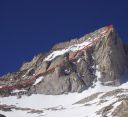
Little Lakes Valley, Bear Creek Spire on the left, the North Arete goes up the line between light and shadow on the center of the face.
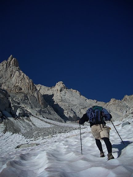
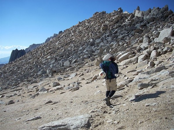
I show up at the trailhead and Salad has a mug of coffee waiting. This is going to be an alright day. We head out on easy trail by headlamp. The last 2.5 miles of approach role up and over hills of talus. There was a bit of snow mixed in at the end.
Salad nearing the base, the North Arete is the one dropping down from the high point on the left.
The climbing is amazing. Great rock (lots of flakes and crystals). Great ledges. The 5.7 and 5.8 climbing comes in the first 5 (or 6?) pitches.
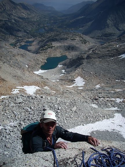
Salad pulling up to the ledge at the end of p.3? Little Lakes Valley behind him.
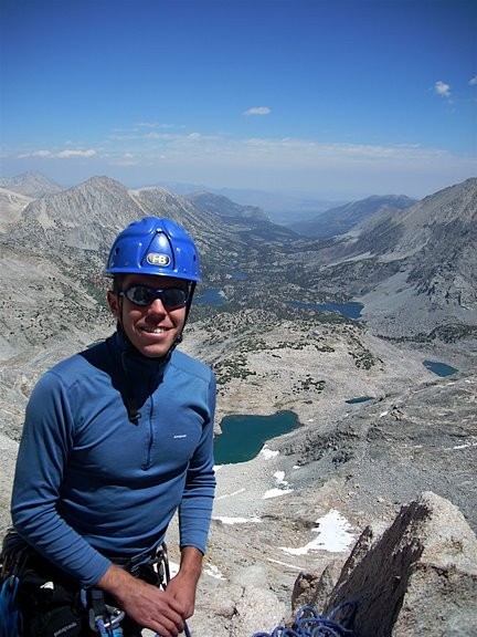
Me. Belaying. (I must like blue and really... it's not that cold out)
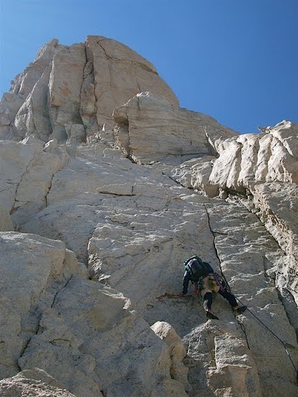
Salad leading up 4th class to the 5.8 pitch which goes up the left facing corner farthest to the left. Supposedly there is an offwidth in there, but I didn't see it. The most obvious way to me seemed a lieback-stem combo.
The 4th class was really solid and fun.
The climb starts to level out and it becomes sort of a ridge traverse. Eventually we reached some rap slings and had two choices. Traverse about 50 feet and go up 15 feet to the summit proper or rap 100' to the walk off. I can't remember what happened after that.
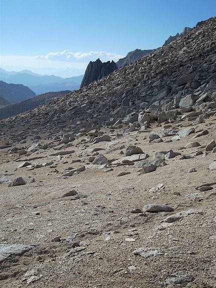
What is that dark mystery buttress?
On the walk down the northwest ridge shortly before dropping over the east side to skirt the base and reverse the approach.
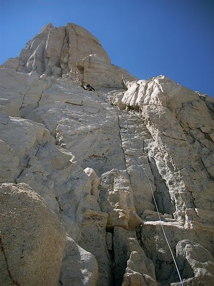
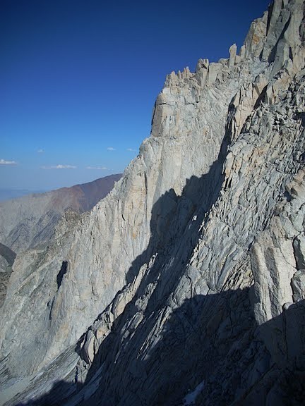
Lower part of the route as seen from the descent on the northwest ridge.
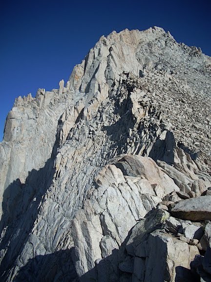
Upper part of the route.
The hike out was fairly uneventful, though the talus always seems to become less stable and further its reach into the valley. We made it back to the road just barely without resorting to headlamp.
--Mic
