|
Trip Report
Pico de Orizaba: a drive-by clambering
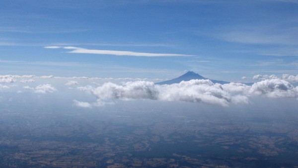
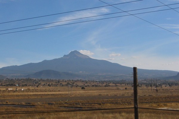
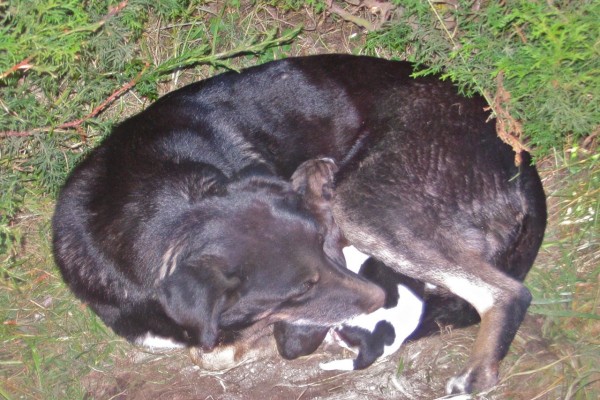
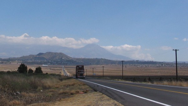
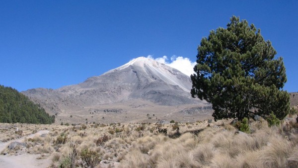
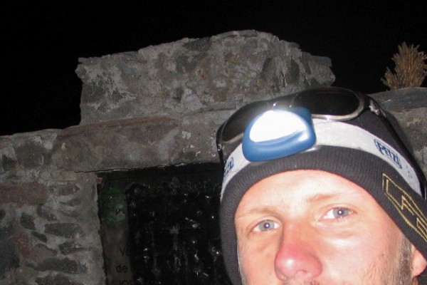
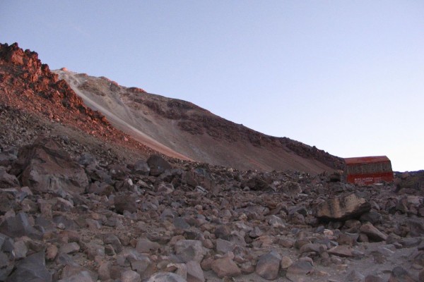
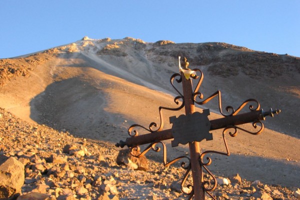
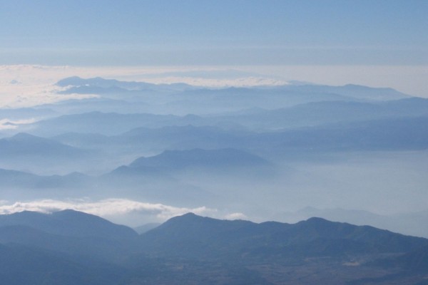
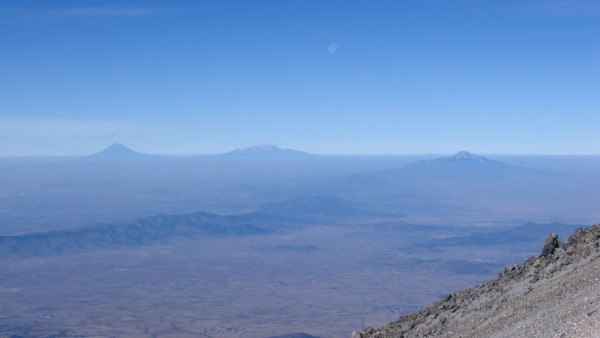
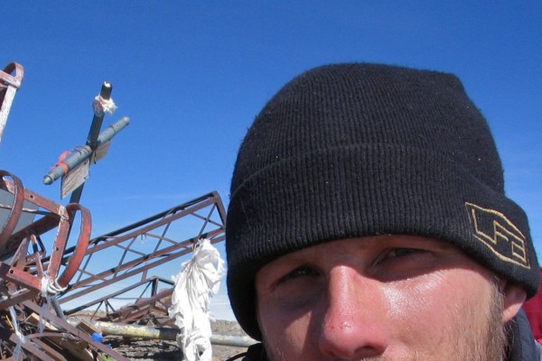
i offer up this tale as partial penance for my ot contributions to st. not so much for past transgressions, but rather in the true spirit of penance: because i know i will sin again. haha. as the climbing involved was on the non-technical ruta sur trade route, this tr is a bit of a departure from the normal foci of this site. due to the way it was approached it still offered much in the way of a personal adventure and so my hope is that there are photos, some info or experiences that you’ll find of interest. [and in regards to the info, some of it is likely already dated as this tale happened in the middle of a 10 mos. road trip spent traversing north and central america in 06-07.] with that prologue out of the way, onto the story… thanks to a couple weeks at homero’s in el portrero chico my partner and i got past the culture shock of a new language, army checkpoints in the middle of the freeway, and all of the other subtle and not so subtle differences that regularly had our initial experience of mexico oscillating between moments of shock then beauty and back again. following a series of other mexican adventures we made it to the first step in this tale: acclimatization. i’ve spent most of my climbing life in the canadian rockies where the highest peak is under 4000m. so i had no real idea of how my body would react to higher elevations. but that was the main reason i was interested in this particular adventure: i wanted to find out. i followed a normal, albeit accelerated, acclimatization itinerary and started with the smaller volcano la malinche. we drove in our little pickup, a chev s10 named gussie to the campground “centro vacacional imss la malintzi” at the base of la malinche [day 1]. after sleeping at the 3000 m camp i took off to climb la malinche to see where my body was at. i hiked the roughly 1500m gain to the summit in 3 hr: things were off to a good start [day 2]. we spent another night at the camp, which was very comfortable and included places to shower and a small restuarant. our tent was set up at one of the tent sites and in a kind of stereotypical fashion a stray dog had puppies outside of our tent on the first night that we were there. the mother was so exhausted and it was obvious that the best security she had been able to find was in a corner behind our tent. this position provided her a place to defend her new brood from the other starving dogs that came lurking. after two nights spent at the camp we left the mum and her pups to the fates and headed down the highway towards orizaba. i had sport climbing gear and a mountaineering ice axe with me, but i hadn’t brought crampons, so the only option for an attempt, that i was aware of, was the ruta sur on the southern side of the peak. and this was only possible if it was snowfree. obviously i wasn’t too attached to the outcome: this was just another relatively harebrained adventure along a path filled with many. after getting a few groceries in the market at tlachichuca we headed on up towards the base of the mountain. this led to the next big question. how far could we make it up the mountain with a four cylinder 2wd pickup loaded down with camping gear and toys? well, surprisingly far, it turns out. once we started getting close to the col [probably around 3800 m] there were times, due to the low oxygen concentration and steepness of the road, where we could only make progress in first gear. keeping everything exciting, i knew if we stopped, the truck was so gutless and the road steep and sandy enough that we likely wouldn’t be able to start up again and our only choice would be to go backwards down the hill. this was quite unnerving as a few of the spots were so narrow that there was only room for one vehicle. there was definitely a lot of finger crossing hoping that we didn’t meet anyone coming down at these points. fortunately we only met a couple of vehicles and they were at the right points so we didn’t have to test our ability to start back up from a stop. we weren’t able to make it right up to the fausto gonzales hut at ~4650m but we were able to make it to the campsites at cuevo del muerto at the col between orizaba and the observatory topped summit of sierra negra. this put us at 4000m: a good elevation to continue the acclimatization [day 3]. based only on vibe, this was one of the sketchier places that we camped during the trip. in general, while in mexico and central america we stayed in pensiones, cheap hotels, or established campgrounds with security. there weren’t really any other options here so we stayed at the graffiti and garbage riddled camp at the col. while it was likely only due to my own imagination, i didn’t feel super secure, so we slept under the topper in the back of the truck rather than setting up a tent. this led to our first discovery regarding the elevation... as i was lying there, preparing to goto sleep, i was shocked at the trouble i and my partner were having breathing. i began to doubt the speed with which we’d come to this point and seriously doubted how i was going to sleep let alone climb. then i realized what was going on. i opened the topper a crack and the fresh air poured in. due to all of the weather sealing that was keeping water out, the topper was actually quite airtight and so once we were in there for a half hour or so, the co2 built up and the already reduced o2 level began to become quite limited. definitely not a good feeling! i spent the next day hiking around a bit and allowed my body to become more accustomed to the elevation [day 4]. the next morning, at about 4:00 in the morning, i set out from the camp and headed up the trail towards the fausto gonzales hut on the south side of the mountain. it was about 6km and 650m of gain and took me a little under two hours to get there. i didn’t look in the hut, and while i’d seen a jeep come up the mountain, it didn’t look like anyone was around, so i kept going. after another half hour of climbing a person appeared far below me and began to yell at me. he was obviously trying to catch up. i understood very little spanish, so i couldn’t understand what he was trying to tell me. but, i was there to explore my own body and knew that i wasn’t interested in waiting for him. but it was all quite surreal: being alone and up high on a mountain, uncertain of how everything was going to work out and being yelled at in a language i didn’t fully understand, by a small figure a few hundred meters below me. i kept climbing. the first part of the climb was uneventful and involved gaining a moraine like feature and clambering over boulders as the oxygen decreased, the sun rose and the views unfolded in a semicircle below. everything was uneventful until i began to approach el pulpito, a rock outcropping that provides a waypoint near the top of this route. as the day warmed sporadic rockfall came down near this feature and began to make me a little uneasy. this was also the point where the moraine like feature ran out and things became a bit steeper. the ground was more gravelly and sandy and it was and is the only time i have been thankful for all of the time i spent on the canadian rockies loose scree – haha. as i neared el pulpito i made the choice to go to the right of it. why i did this, i’m not sure. in retrospect all sources say go to the climbers left, but for whatever reason i had either forgotten or hadn’t read the best sources and i went right. as i began to move to the right i started to move into the path that some of the rock fall had come down earlier. the area was fairly steep, and very loose and i was using both my hands and feet for upward progress. i was feeling the elevation quite heavily and was having to stop after every five or so steps to catch my breath. just as i was stopped, a basketball sized boulder cut loose far above me and began to bound down the steepening slope aimed directly towards me. i quite literally used all of the energy i had to dive “behind” a small 18” highpoint on the 35 or so degree slope. with the elevation and fatigue this act felt as if i was moving in slow motion through a sea of corn syrup. as i laid there with my head tucked, the boulder bounced just above my head and due to the steepness of the slope sailed, what i assumed based on the sounds, was just past my outstretched legs. i laid there breathing heavily, recovering from the exertion of trying to move quickly. i got the hell out of dodge with an increased but still terribly miniscule understanding of what it might have been like to be involved in trench warfare. [later, when i looked at the summit pics i realized in diving, i’d scraped my nose – haha.] i made my way the last few metres to the summit. it had taken me four hours from the hut. if you look at my eyes in the summit pic and compare them to when i started out you can see the toll that the exertion and elevation had brought. but i’d found what i’d come there looking for. after some snacks and a few minutes on the summit i headed back down. this time i went to the climbers left of el pulpito and the descent was uneventful. a little over a couple hours later i was back at the hut. there were a number of mexican tourists hiking from the parking area to the hut. they excitedly asked me if i’d summited and when i said i had they responded with hearty congrats. the only times i have felt more heroic are when i’ve met a brewster busload of photo-taking japanese tourists while skiing off the columbia glacier – haha. ten hours after leaving i was back to the col and my partner. disclaimers: this account is by no means a recommendation on how one should go about climbing this route. definitely bring crampons – haha; don’t count on a two wheel drive getting you to the col – that said the road was in the process of being rebuilt, so maybe it’s great now; things will go faster if there is still snow on the route and you aren’t having to deal with rockfall and two steps forward/ one step back scree [this story happened between jan. 2-6, ‘7]; get started earlier to avoid rockfall; etc. & etc. ie. choose your own adventure...
Comments
|
Recent Trip Reports
|
