Trip Report
South Lake to North Lake through Evolution Valley (53 miles in 5-1/2 days)
Thursday August 23, 2012 1:50am
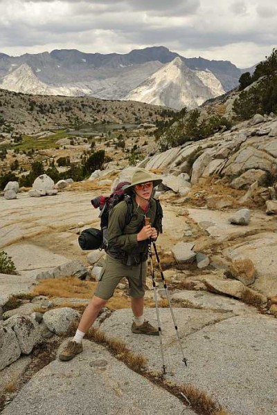
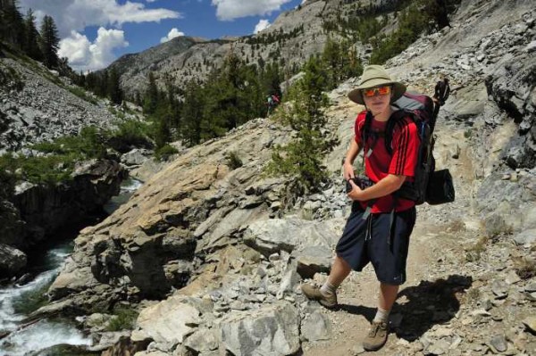
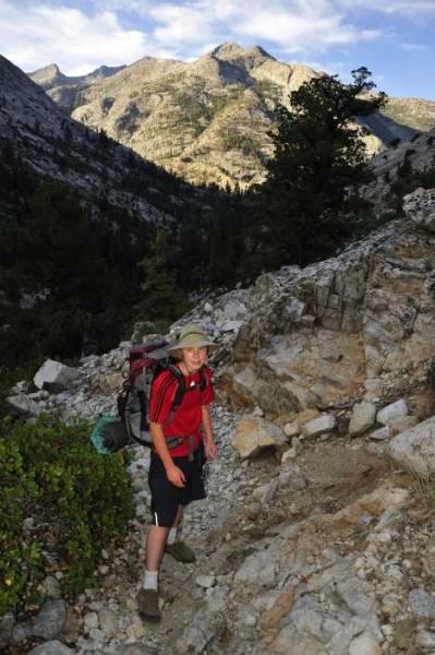
Sunday, August 12th my son and I backpacked from South Lake to North Lake over 5-1/2 days. The monsoon flow from the south made for some interesting wet weather. This was my sixteen year old son's second Sierra backpack trip. This year was a stark contrast to last year. Our previous trip last August from Tuolumne Meadows to Mammoth Lakes was highlighted by deep sun cups over 10,000 feet and squarms of mosquitos. This year was almost devoid of any snow and bugs.

top left corner top right corner
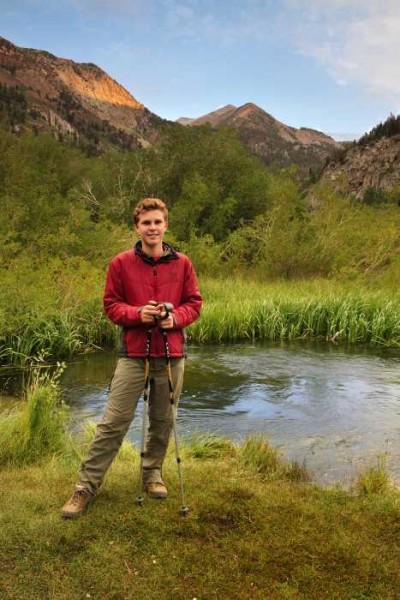
At the campground below South Lake
Credit: Quasimodo
bottom left corner bottom right corner

top left corner top right corner
Credit: Quasimodo
bottom left corner bottom right corner

top left corner top right corner
Credit: Quasimodo
bottom left corner bottom right corner

top left corner top right corner
Mt Goode in the distance
Credit: Quasimodo
bottom left corner bottom right corner

top left corner top right corner
Credit: Quasimodo
bottom left corner bottom right corner

top left corner top right corner
Credit: Quasimodo
bottom left corner bottom right corner

top left corner top right corner
Credit: Quasimodo
bottom left corner bottom right corner

top left corner top right corner
Bishop Pass
Bishop Pass
Credit: Quasimodo
bottom left corner bottom right corner

top left corner top right corner
Looking down on Dusy Basin and Le Conte Canyon just before a massive f...
Looking down on Dusy Basin and Le Conte Canyon just before a massive four hour thunderstorm
Credit: Quasimodo
bottom left corner bottom right corner

top left corner top right corner
Le Conte Canyon
Le Conte Canyon
Credit: Quasimodo
bottom left corner bottom right corner

top left corner top right corner
Credit: Quasimodo
bottom left corner bottom right corner

top left corner top right corner
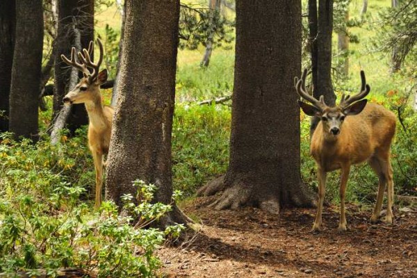
A couple of bucks in Le Conte Canyon
Credit: Quasimodo
bottom left corner bottom right corner

top left corner top right corner
Credit: Quasimodo
bottom left corner bottom right corner

top left corner top right corner
Credit: Quasimodo
bottom left corner bottom right corner


top left corner top right corner
On the way to Muir Pass along Le Conte Canyon
Credit: Quasimodo
bottom left corner bottom right corner

top left corner top right corner
Credit: Quasimodo
bottom left corner bottom right corner

top left corner top right corner
Credit: Quasimodo
bottom left corner bottom right corner

top left corner top right corner
Credit: Quasimodo
bottom left corner bottom right corner

top left corner top right corner
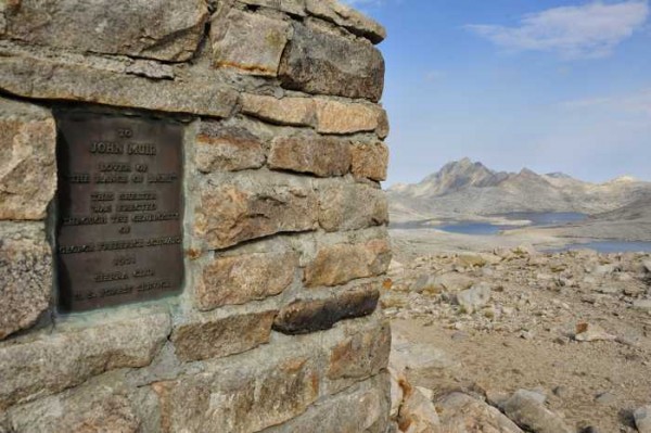
Near Muir Pass
Near Muir Pass
Credit: Quasimodo
bottom left corner bottom right corner

top left corner top right corner
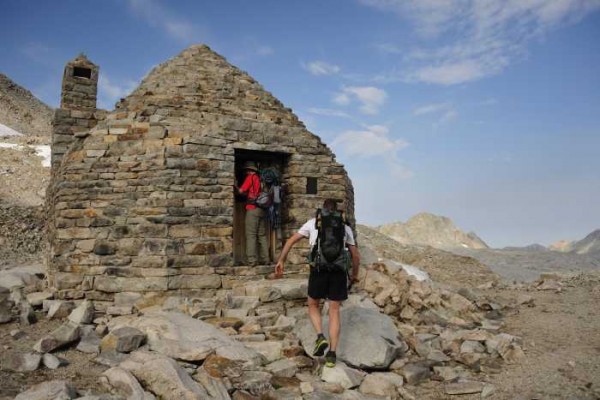
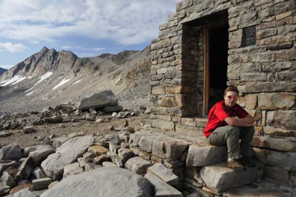
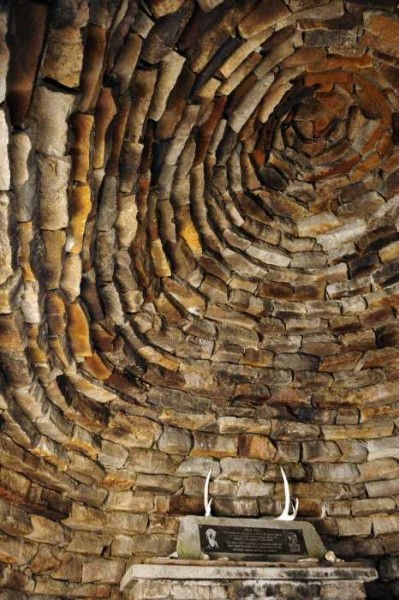
Muir Hut
Muir Hut
Credit: Quasimodo
bottom left corner bottom right corner

top left corner top right corner
Credit: Quasimodo
bottom left corner bottom right corner

top left corner top right corner
Credit: Quasimodo
bottom left corner bottom right corner

top left corner top right corner
Credit: Quasimodo
bottom left corner bottom right corner

top left corner top right corner
Credit: Quasimodo
bottom left corner bottom right corner

top left corner top right corner
Evolution Lake
Evolution Lake
Credit: Quasimodo
bottom left corner bottom right corner

top left corner top right corner
Credit: Quasimodo
bottom left corner bottom right corner

top left corner top right corner
Clearing storm on Evolution Lake
Credit: Quasimodo
bottom left corner bottom right corner

top left corner top right corner
Credit: Quasimodo
bottom left corner bottom right corner

top left corner top right corner
Credit: Quasimodo
bottom left corner bottom right corner

top left corner top right corner
McClure Meadow
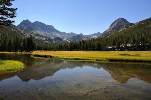
McClure Meadow
Credit: Quasimodo
bottom left corner bottom right corner

top left corner top right corner
Credit: Quasimodo
bottom left corner bottom right corner

top left corner top right corner
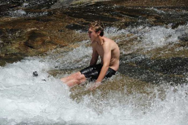
Natural water slide near Evolution Meadow
Credit: Quasimodo
bottom left corner bottom right corner

top left corner top right corner
San Joaquin River
San Joaquin River
Credit: Quasimodo
bottom left corner bottom right corner

top left corner top right corner
Credit: Quasimodo
bottom left corner bottom right corner

top left corner top right corner
Credit: Quasimodo
bottom left corner bottom right corner

top left corner top right corner
Credit: Quasimodo
bottom left corner bottom right corner

top left corner top right corner
On the way to Puite Pass.  If this cliff was near a road it would be c...
On the way to Puite Pass. If this cliff was near a road it would be covered with routes.
Credit: Quasimodo
bottom left corner bottom right corner

top left corner top right corner
Credit: Quasimodo
bottom left corner bottom right corner

top left corner top right corner
Near Puite Pass
Near Puite Pass
Credit: Quasimodo
bottom left corner bottom right corner

top left corner top right corner
Credit: Quasimodo
bottom left corner bottom right corner

top left corner top right corner
Credit: Quasimodo
bottom left corner bottom right corner

top left corner top right corner
Credit: Quasimodo
bottom left corner bottom right corner

top left corner top right corner
Credit: Quasimodo
bottom left corner bottom right corner

top left corner top right corner
Credit: Quasimodo
bottom left corner bottom right corner

top left corner top right corner
Credit: Quasimodo
bottom left corner bottom right corner

top left corner top right corner
Credit: Quasimodo
bottom left corner bottom right corner

top left corner top right corner
Puite Pass
Puite Pass
Credit: Quasimodo
bottom left corner bottom right corner

top left corner top right corner
Below Puite Pass on the way to North Lake
Credit: Quasimodo
bottom left corner bottom right corner

top left corner top right corner
Olancha
Olancha
Credit: Quasimodo
bottom left corner bottom right corner


  Trip Report Views: 2,486
Quasimodo
About the Author

Comments
Loomis

climber
  Aug 23, 2012 - 01:59am PT
Great pics, one of my favorite areas in the high Sierra.
I slept in that Muir hut before, damned mice kept me awake! :)
Mungeclimber

Trad climber
Nothing creative to say
  Aug 23, 2012 - 02:18am PT
great pics! Some of the best high country!
ß Î Ø T Ç H

Boulder climber
ne'er–do–well
  Aug 23, 2012 - 02:25am PT
Stingy with the file size (photos), but the bouldering potential out there looks completely off the chain. Thanks.
Sierra Ledge Rat

Mountain climber
Old and Broken Down in Appalachia
  Aug 23, 2012 - 03:02am PT
Simply stunning photos
Josh Nash

Social climber
riverbank ca
  Aug 23, 2012 - 03:12am PT
that's gorgeous!
Ezra Ellis

Trad climber
North wet, and Da souf
  Aug 23, 2012 - 09:16am PT
Your son will cherish that trip forever!
Charlie D.

Trad climber
Western Slope, Tahoe Sierra
  Aug 23, 2012 - 12:00pm PT
Great photos! Thanks!
Quasimodo

Trad climber
CA
Author's Reply  Aug 23, 2012 - 12:58pm PT
Biotch
I also noticed how bad the photo resolution looked online. I have an old ST posting guide that recommends that any photo should not exceed 700 pixels on the long direction. I used ARFAN VIEW to batch compress the set of photos to 700 pixels (either vertical or horizontal)for posting.

Has Chris improved the way photos are handled on ST? If you load a maximum 2MB image does ST optimize the rendering size online? I was afraid a 2MB file would be rendered too big for most monitors. Too bad ST does not have a method to download full resolution images and optimize the compression for ST posting.

Any posting suggestions would be appreciated.
Go